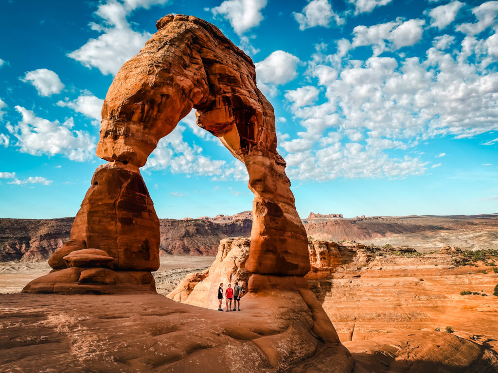
The most famous arch in Arches National Park is Delicate Arch. On a rock overhanging the valley, this impressive arch can be found on the Utah license plate as well as travel photos everywhere. If you are visiting Arches, the Delicate Arch Hike should be at the top of your list of things to do and is one of those destinations that live up to the hype. I did this hike with my three kids (two teens and a tween) on an early morning in April and there are a few things you should know to make the most of this iconic hike.
In this article I’ll share the highlights as well as the details of the Delicate Arch hike. You can get more information about visiting Arches National Parks in our Complete Guide. Also note that there is a timed entry reservation need to get into the park after 7 am.
At Chasing ADVNTR we offer travel resources to help you plan your next adventure as well as full travel planning and National Park Consultations. Learn more about our travel planning services and let us help you create more memories.

Overview of the Delicate Arch Hike
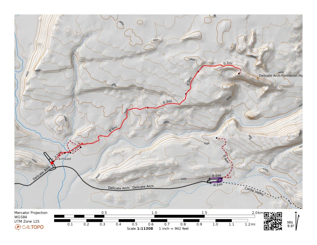
Distance: 3.1 miles
Elevation: 500 feet gain
Difficulty: moderate
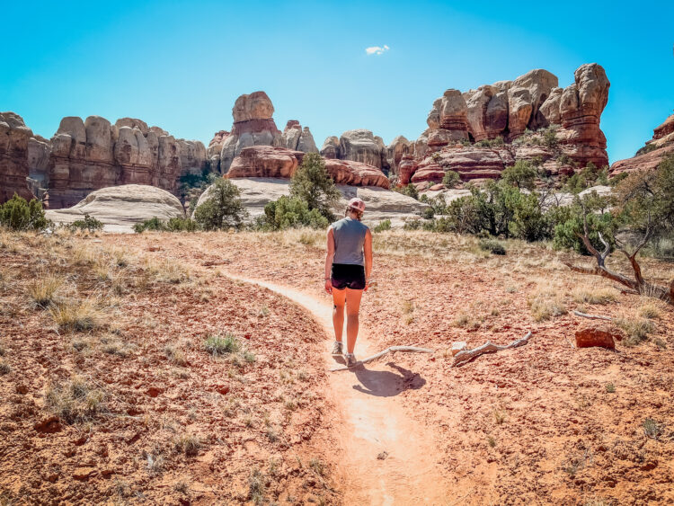
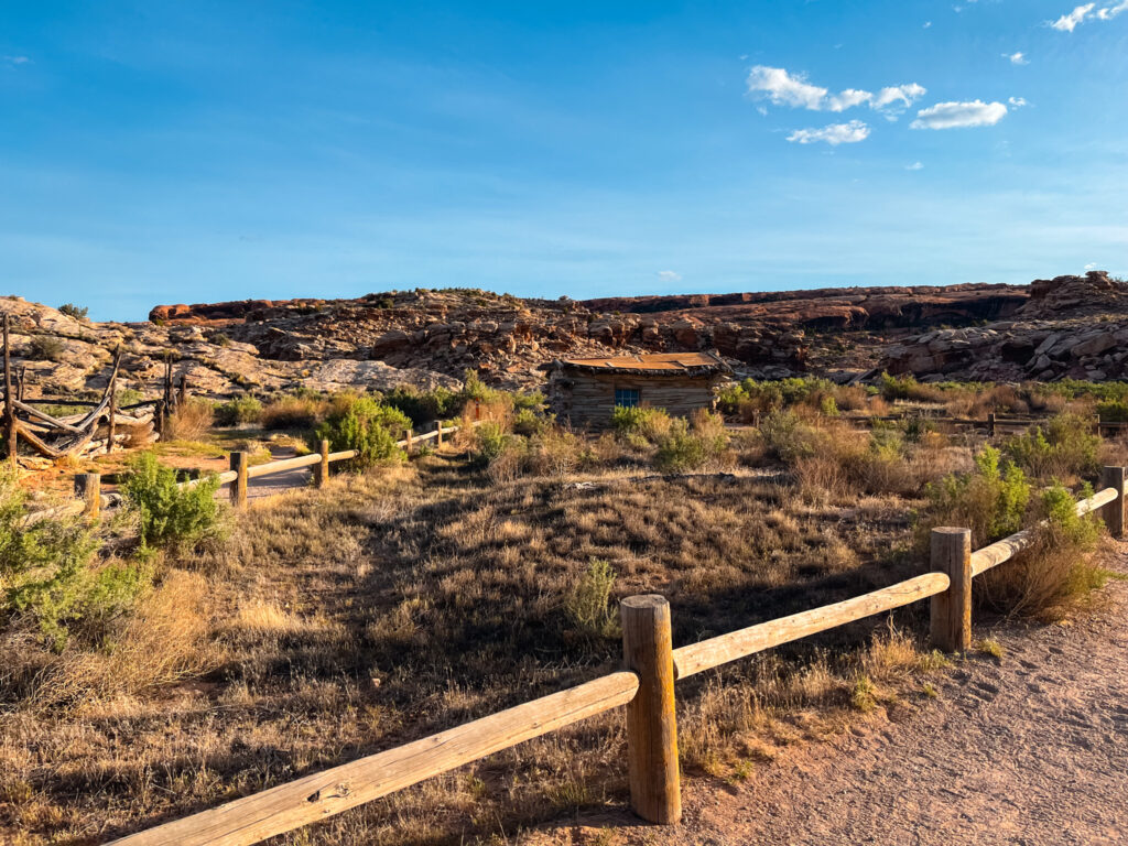
Delicate Arch hike starts in the Wolfe Ranch Parking area where you can see the remnants of a late 1800s homestead and Ute Indian petroglyphs. I recommend stopping at the petroglyphs and then starting the hike. The first part of the hike is relatively easy, crossing a footbridge over Salt Wash and traversing a well-defined, gravel path.
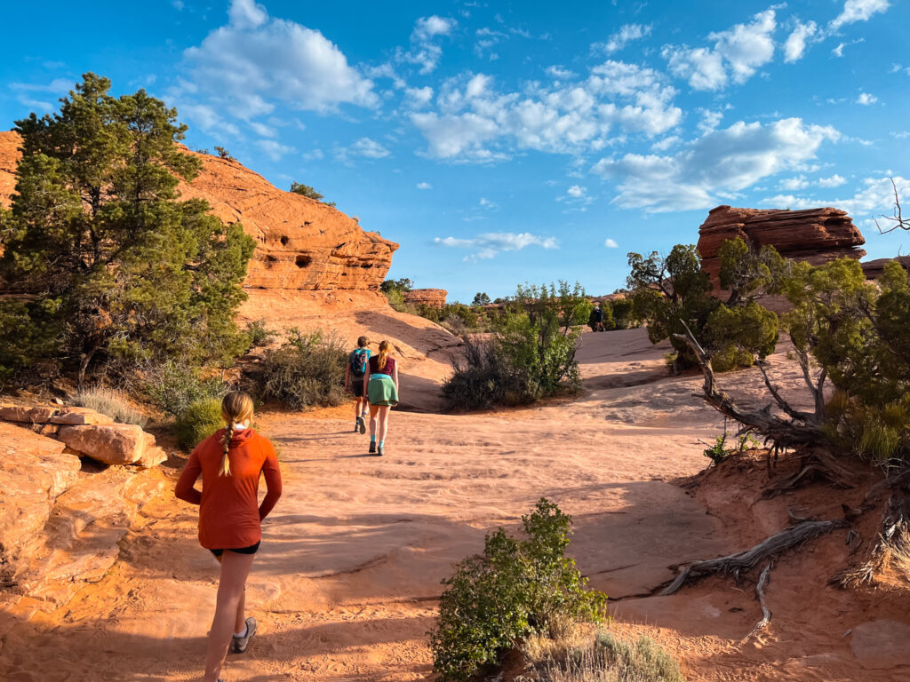
After a short distance, you’ll begin ascending a steeper slickrock sections where the path is marked by a series of cairns. The higher you climb, the better the views. After reaching the top of this section, the trail winds through a sandstone fin where you’ll find a little shade
The last part of the hike is a narrow rock ledge that curves around a cliff face. There is a steep drop to one side, the the path itself is wide. As you round the corner, Delicate Arch comes into view, standing majestically against the backdrop of the La Sal Mountains.
A Bit About Delicate Arch
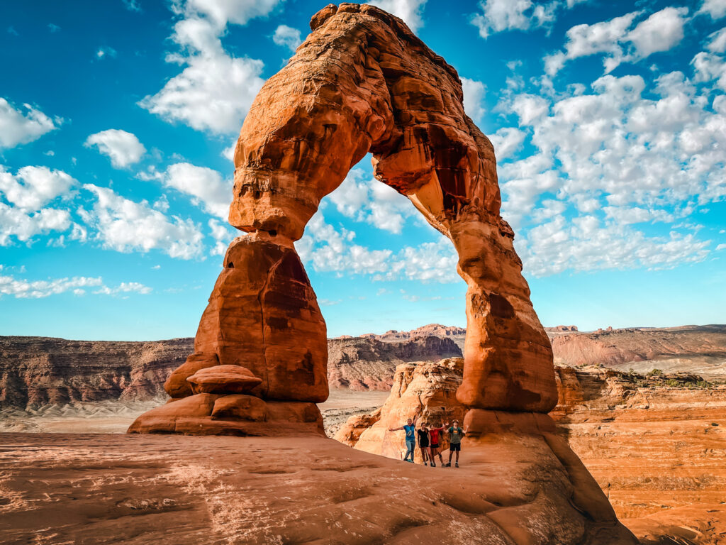
The Arch itself is very impressive and is 46 feet high and 32 feet wide, making it the largest free-standing arch in Arches National Park. According to the National Park Service, It has had a few names over the years, including: Cowboy’s Chaps, Old Maid’s Bloomers, and Salt Wash Arch. It has been called Delicate Arch since the 1930s.
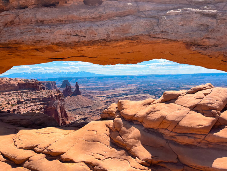
After visiting, we recommend taking photos from 3 different areas. Before you reach the Arch there is a little window on your right before the steep sliff section. This offers a fantastic view if you scramble up to it.

The next vantage point is right when the full arch comes into view after the cliff walk section. Many people sit here and take in the scene. This offers the best panoramic view and you can see the mountains in the distance.
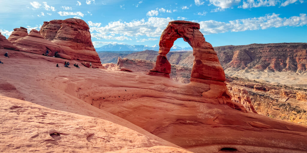
Finally – it’s worth walking over to the arch although use caution as it is steep. There were a few people lined up to take photos in the Arch from here.
Getting to the Delicate Arch Trailhead
The Trailhead for the Delicate Arch hike is located at the Wolfe Ranch Parking area. This is a relatively large lot, but does fill up. We arrived before the park opened to do ths hike and the lot was about 75% full by 7:30 am. There are some basic facilities including bathrooms and a map at the trailhead.
Map of the Delicate Arch Hike
Things to Know about Hiking to Delicate Arch
- Bring plenty of water: The desert environment can be extremely dry and hot, especially in the summer.
- Wear sturdy footwear: Good hiking shoes with traction are useful for the slickrock sections.
- Sun protection: Sunscreen, a hat, and sunglasses are helpful there is very little share and the sun can be intense.
- Timing: Early morning or late afternoon hikes not only provide the best lighting for photographs but also help avoid the midday heat. The Arch looks very different depending on the sun!
- There is a section with a steep drop off to one side. There were several people on the hike who were clearly nervous with this dropoff but we found the trail wide.

Detailed Description of the Trail
We started our hike around 7:30 AM and the parking lot was about 75% full. The first part of the trail is mostly easy on a wide and well marked/packed trail. After about 0.5 miles, the trail begins to ascend a long slickrock section. You will be able to see the entire first part of the hike from here to get a sense of the length and difficulty.
This part of the hike was fully exposed with no shade and there were a fairly large number of people taking their time up this section and I imagine this gets pretty backed up.
After reaching the top of this section, the trail levels off for a bit and winds through a few areas with shade before the final approach to the arch. This section is where you will find the steep drop off. We were making pretty good time up with section and passes a number of people but once you get to the final section it can get a bit backed up as some people do not like passing on the steep section.
You will see a small window up to the right as you walk up the trail. If you are able, I highly recommend taking in the view through this window as you can see Delicate Arch and it’s a great place for a photo.
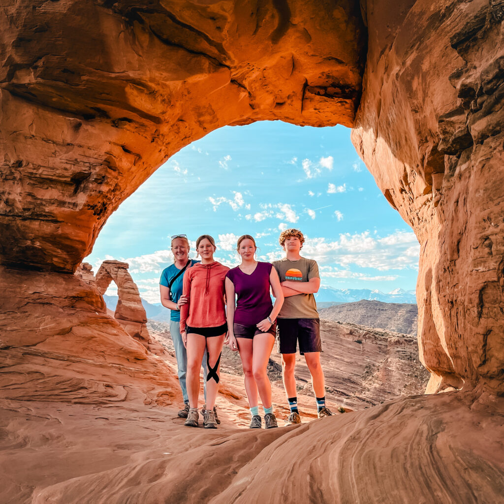
After you reach the Arch, enjoy the views before turning around and retracing your steps back to the parking lot. We found it was already getting hot by the time we went back down even in April and there were significantly more people passing us as we came downhill.
If you enjoy this hike, don’t miss the Hike to Landscape Arch and Devil’s Garden.


