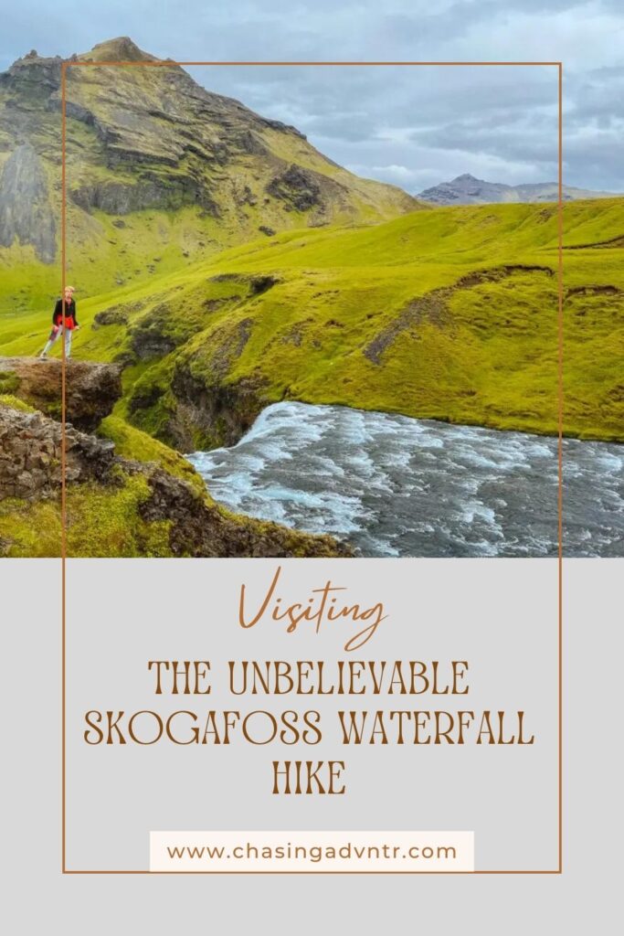
Skogafoss is an incredibly powerful and impressive waterfall on the Southern Coast of Iceland. Cascading off the Southern cliffs of Iceland, Skogafoss is the final waterfall of the impressive Skoga River as it makes its way from the glacier to the ocean. But this is just one of the many incredible waterfalls on the Skoga River, and the Skogafoss Waterfall hike (on the Fimmvorduhals Trail) directly above this waterfall is one of the best hikes in Iceland.
We visited Skogafoss and did the Skogafoss waterfall hike up the Fimmvorduhals Trail for about 6 miles during the summer of 2022. You will also see this trail called the Skógá Trail or even more generally Waterfall Way. In this post, you can find details on how to visit this waterfall and all the details on hiking the lower part of the Fimmvorduhals Trail. Since we also researched doing this trail as a point-to-point trail, we will also share some basic information about this option.
Looking for more Iceland travel inspiration, see the best waterfalls in Iceland.
Quick Overview of the Skogafoss Waterfall Hike (the Fimmvorduhals Trail)
The Skogafoss Waterfall Trail, or Waterfall Way starts at the parking lot for Skogafoss and follows the Skoga River towards its source at the inland glaciers. The waterfall is said to pass over 26 waterfalls as it flows to the ocean, and the trail offers stunning views of these unique waterfalls and the valley.
Distance: 6 miles+ (Variable - the entire trail is 25 km each way)
Elevation Gain: 500 feet + (Variable depending on the distance you go)
Difficulty: Easy to Moderate
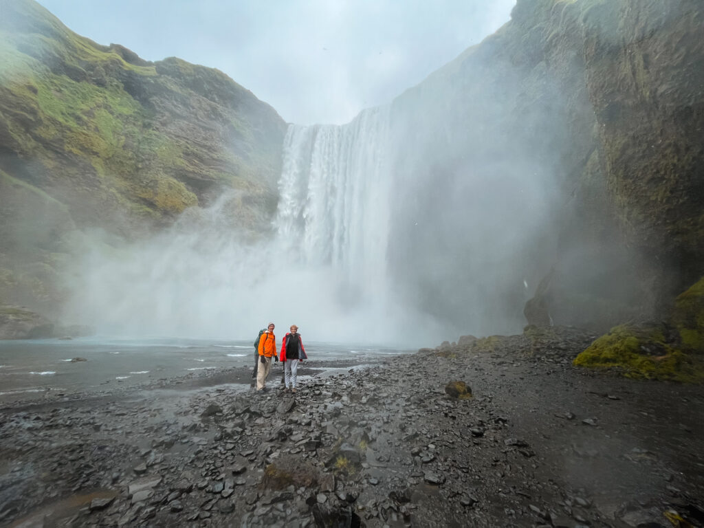
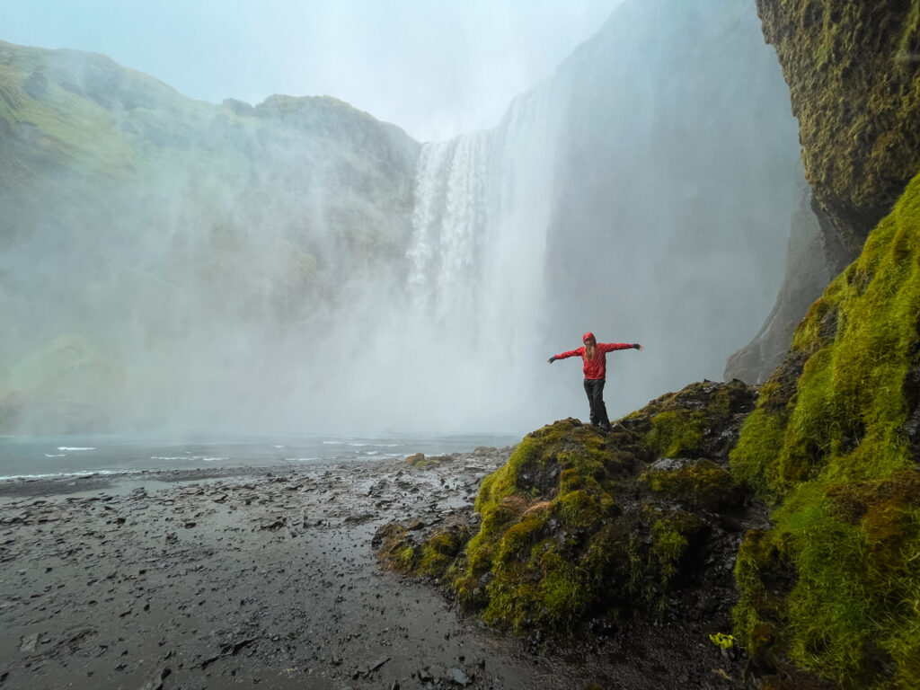
The first site on your visit to the Skogafoss Waterfall Hike is the mighty Skogafoss. Once you find the parking lot, which is directly off Route 1, you can’t miss the waterfall. You can walk on the obvious trail and get right up to the base of the waterfall where the powerful spray will cover you in water. If you’ve brought your rain gear, it’s worth getting up into the spray!
The Skogafoss Trail begins just to the left of the waterfall – you will simply follow the series of stairs up to the top of the waterfall. From the top of Skogafoss, the Skogafoss Waterfall Hike truly begins and follows the river up the valley. This well-marked and easy walking trail passes waterfall after waterfall with more amazing views around every corner. The entire Fimmvorduhals Trail travels up 25 km and can be done as a long single-day trek. This does involve spotting a car or arranging some type of transportation.
The easiest way to hike the trail is from the bottom as an out and back. This allows you to you can simply turn around whenever you want. Even walking just a mile up the trail will give you incredible views of several waterfalls. The trail meanders up the valley with a mostly gentle rise and you are rewarded with views of amazing waterfalls.
The trail is relatively easy and can be enjoyed by anyone with moderate fitness – it is a great trail to hike with kids.
For more details on the complete hike, scroll down.
How to Get to the Skogafoss Waterfall
Skogafoss is a very easy stop along the Southern Coast, and the large parking lot is just off Route 1. Since the Skogafoss Waterfall Hike and the start of the Fimmvorduhals Trail leaves from right next to Skogafoss, you can use the same parking lot. There was a small fee to park in the lot, and you can also stay nearby or camp. If you scroll to the bottom of this post you can see some suggestions on where to stay.
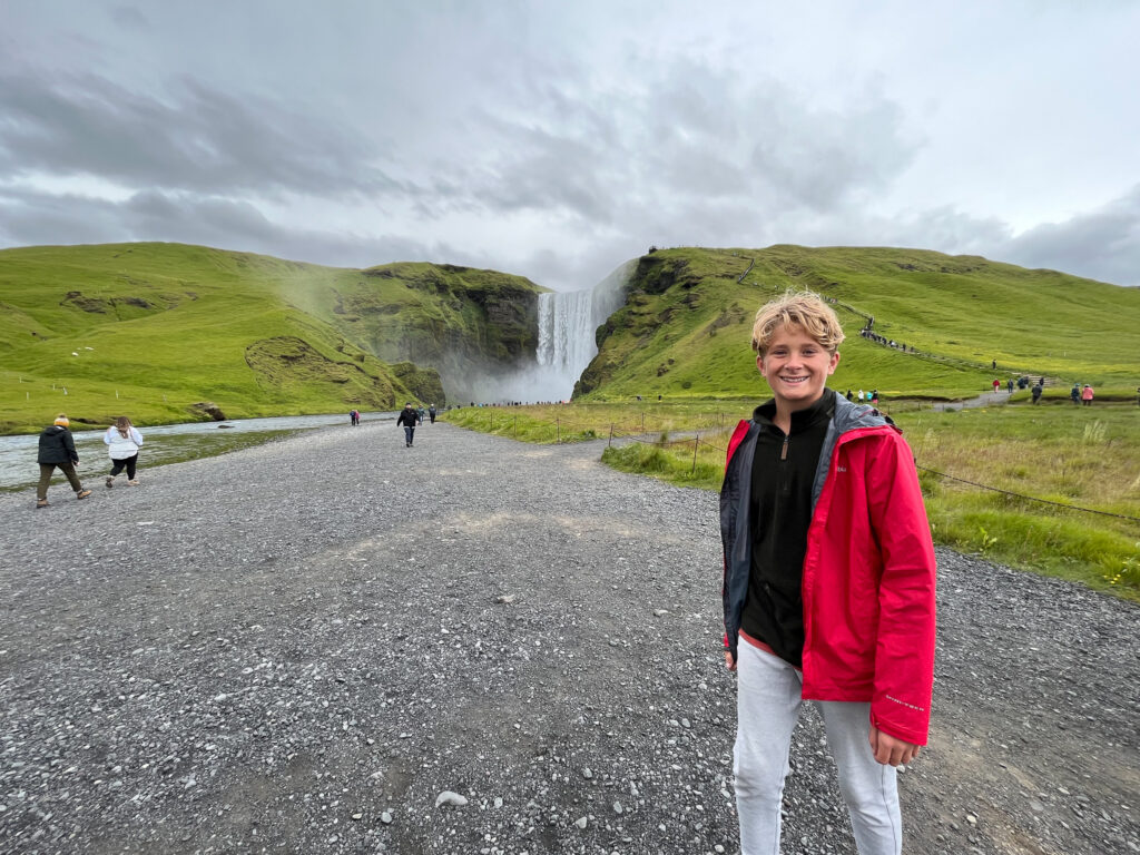
Most People who are doing the Skogafoss Waterfall hike are driving themselves along the Southern Coast or around the ring road, but there are many tours that stop at Skogafoss, although you may only have a short time to visit, so while you will be able to see Skogafoss, you may not get to walk very far up the Trail.
Below are some common driving times for getting to Skogafoss:
- Reykjavik to Skogafoss: 2 hours and 15 minutes
- Gullfoss to Skogafoss: 2 hours
- Reynisfjara Beach to Skogafoss: 30 minutes
- Seljandsfoss to Skogafoss: 30 minutes
Map of the Skogafoss Waterfall Hike
The map below shows the start of the hike and the general walk up the hiking trail. There is not much need of a more detailed hiking map if you are just doing the lower part of the Skogafoss Waterfall Trail, as the trail is obvious and straightforward.
Best way to View Skogafoss
There are 2 excellent viewpoints to see Skogafoss. The first is to walk to the base of the waterfall on the obvious trail that leads right from the parking lot. The second viewpoint is to view Skogafoss from the top. To reach the top, you will walk up the steps just to the side of the waterfall. This is the hardest part of the visit! There is a viewing platform at the top of the falls and from here, the Fimmvorduhals Trail follows the river inland.
If you have the time, we highly recommend walking to the viewpoint above Skogafoss, even if you don’t plan to go further on the trail.

The Skogafoss Legend
The name Skogafoss comes from the words 'skogur' meaning forest and 'foss' meaing falls.  There is a legend that a chest of gold is hidden beneath or behind the waterfall and was left there by the area’s first Viking settler, in the 10th century.


The chest was supposedly found by a local boy who grasped one ring of the treasurer chest and pulled it off before it disappeared again.  The ring can now be seen in the local Skógar Folk Museum.
Different Options for Hiking the Fimmvorduhals Trail
As mentioned above, the Skogafoss Waterfall Trail includes the lower part of the Fimmvorduhals Trail. The Fimmvorduhals Trail starts in Skoga and ends in Thorsmork. This means if you are planning to hike this trail, you will need to arrange transportation either to or from Thorsmork. The trail 26 km one way and is an incredible if long day hike that passes near dormant volcanos as well as the many waterfalls on the Skoga River. We were planning to do this entire trail but due to the logistics, we ended up doing just the lower section.
If you are looking for more information on hiking the Fimmvorduhals Trail, the Earthtrekkers website has a great overview.
Details of the Skogafoss Waterfall Hike (the lower part of the Fimmvorduhals Trail)
The hardest part of the Skogafoss Waterfall Hike is the hike up the stairs to the top of the Skogafoss Waterfall. If you reach this point, the rest of the hike is straightforward with a gentle incline and no steep or challenging sections. The stairs can get a bit crowded with people who are just here to see Skogafoss, but as you walk further and further up the trail, the crowds begin to thin. When we hiked the trail, we had entire sections of the walk to ourselves.
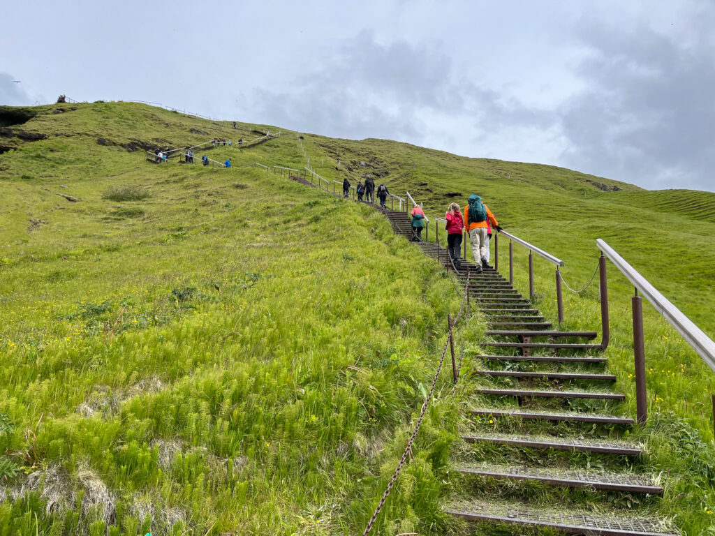
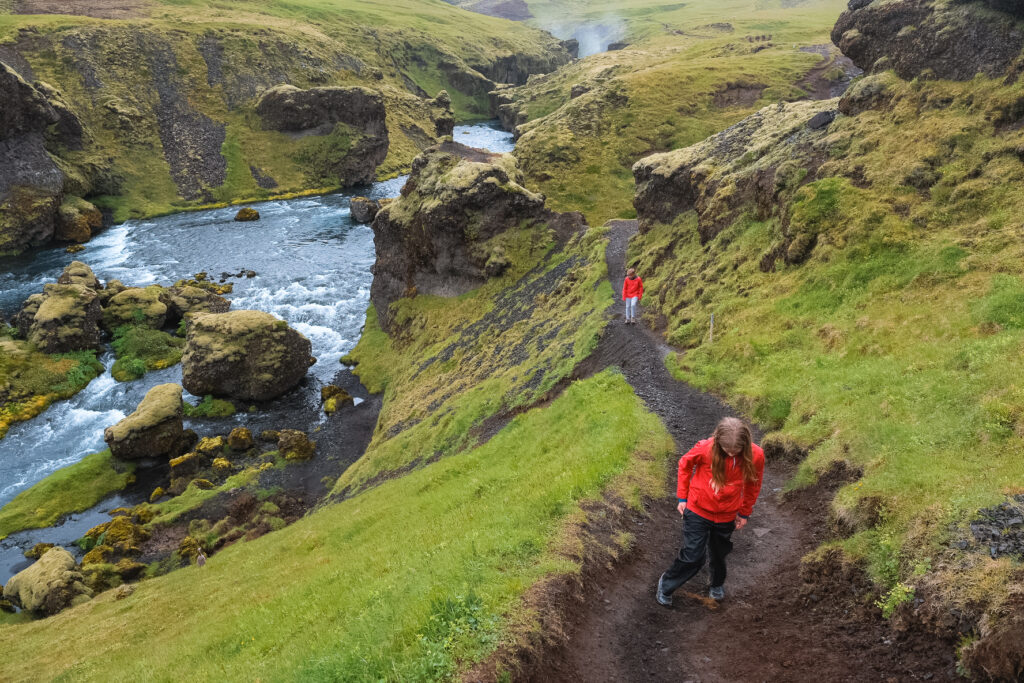
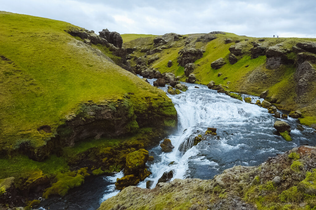
In the next section, I will describe some of the main sites you will see along the lower section of this trail, but in actuality, you can simply just walk up the path until you are tired and enjoy waterfall after waterfall. For most of the waterfalls, you will be looking down into the river and as you walk up the trail, you will get viewpoints of both the lower part of each fall and the view of the top of the falls looking down.
Many of the waterfalls are marked, and you can check off the different falls as you hike.
Use common sense and respect the signage and trail markings to avoid contributing to erosion or putting yourself in danger near a big drop. Iceland has a fragile ecosystem and there is trail maintenance underway to make sure the trails remain safe for everyone. You will see many side trails where people have gone off trail to get the best view, but are causing environmental problems.
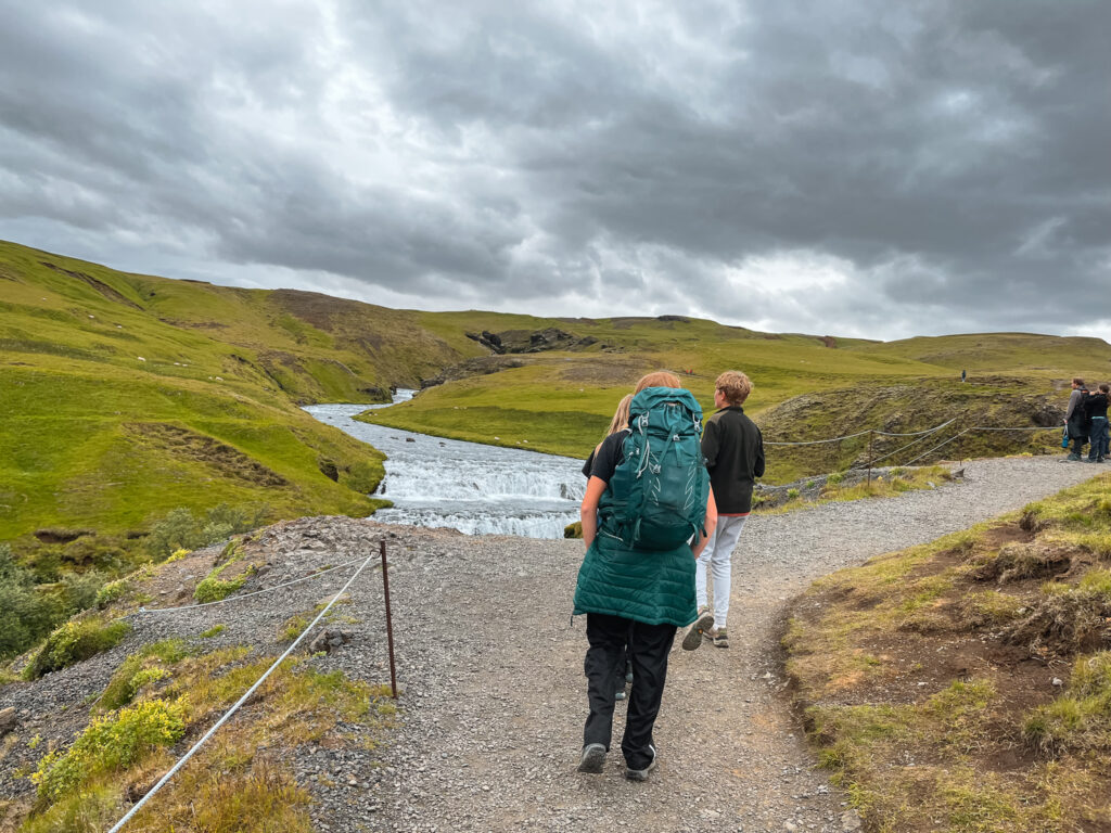
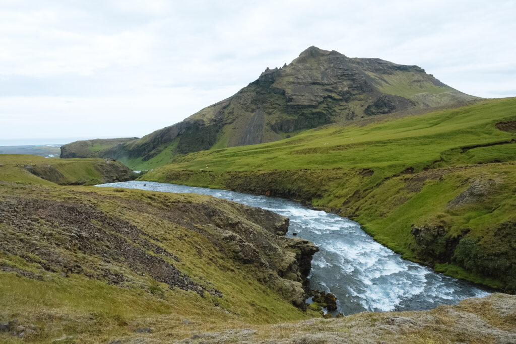
The immediate trail above Skogafoss provides your first view up the valley and in the other direction you will see the coastline stretching out below you. You will pass many small waterfalls which don’t even get proper names and the valley begins to deepen surrounded by lush hillsides.
The first larger named falls you will see are the High Peaks Waterfall and Cascading Falls. These waterfalls are about a 45-minute walk up the Skogafoss Trail
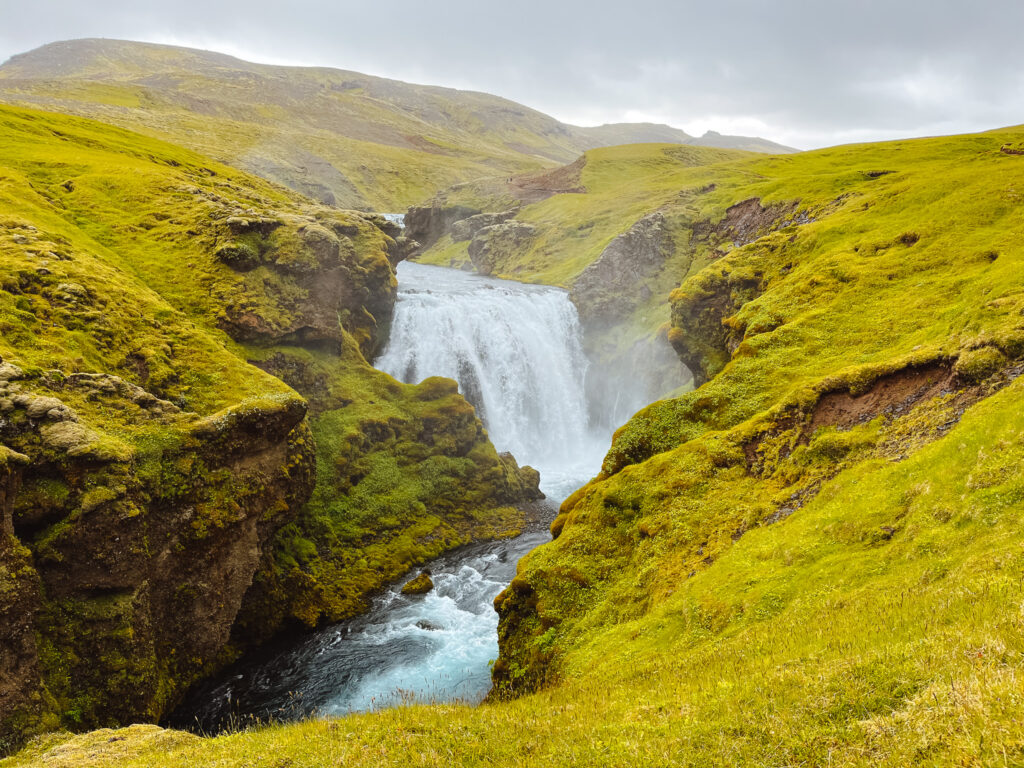

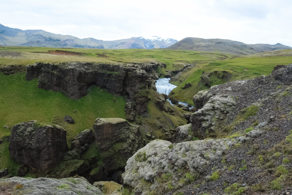
Following the trail past Cascading Falls, you will eventually come across some signage within a short walk. When we visited in the summer of 2022 parts of this trail were undergoing maintenance. The hike here becomes increasingly dramatic as the gorge down to the Skoga River deepens and the views become even more breathtaking.
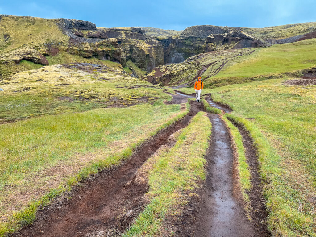
There are some sections of the trail that were quite muddy, even though it hadn’t rained much recently, and I can imagine that the trail would be a good deal muddier after a heavy rain.
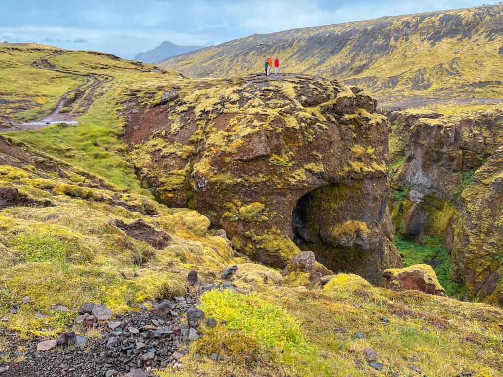
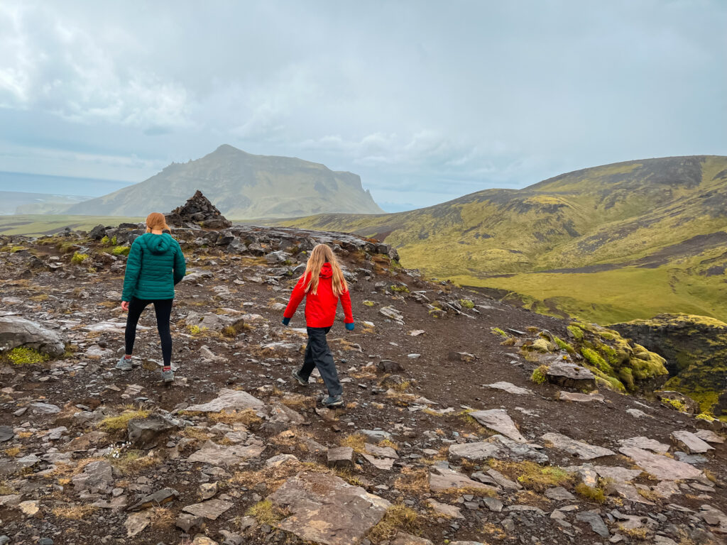
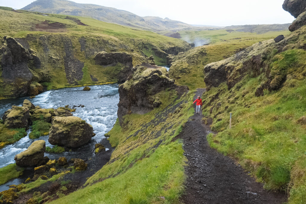
Since the trail continues on for 26 km, you will want to choose a turnaround point somewhere on the lower half of the hike. One option for a turnaround point is Subtle Falls. Subtle Falls is about a 1.5-hour hike from Skogafoss and just under 6 km.
After Subtle Falls, the next obvious turnaround point is the Bridge. This is about 8 km up the river from Skogafoss. This point is about 2.5 hours from Skogafoss and about an 8 km walk. While it’s fun to try to make it to the bridge, we found this part of the trail the least interesting. It’s still a great hike, but after the amazing lower section, it’s not quite as impressive. Sunset Falls is a beautiful waterfall located near the bridge.
Unless you are hiking the entire Fimmvorduhals Trail, you will likely want to turn around here and begin making your way back down the Skogafoss Waterfall Hike. The walk back will likely take less time as you are on a gradual downhill walk.
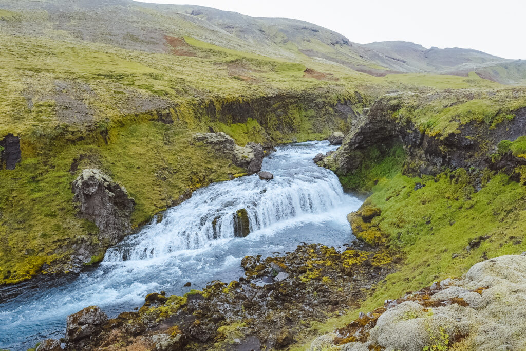
We walked the Skogafoss Waterfall Trail on our trip around the Ring Road and found it was one of the best coastal hikes in Iceland. We visited late morning after stopping at Seljandsfoss and spent about 5 hours exploring Skogafoss and the Skogafoss Waterfall Trail.
Things to Know about the Skogafoss Hike up the Fimmvorduhals Trail
When is the best time of year to Hike the Skogafoss Waterfall Hike?
Summer is the best time to visit Skogafoss and do the Skogafoss Waterfall Hike. During this time of year, there is plenty of sun and the driest conditions. This is also the most crowded. Avoid the crowds by visiting early or late in the day. In the fall and spring, the waterfall is less crowded and you can still enjoy the view and the hike despite the cooler weather – you will also have less sunlight.
You can visit Skogafoss in the winter, and if you catch it during the light hours, it can be truly magical. Make sure to dress warmly!
What to Bring With You on the Skogafoss Waterfall Hike
Weather in Iceland can change rapidly, so it’s best to be prepared. In addition to normal hiking clothes, you should make sure to pack some snacks and water.
Raincoats and rainpants are a must on this hike and are useful even for just visiting Skogafoss and getting close to the spray at the bottom.
Due to the slightly muddy trail conditions, make sure to wear hiking boots or shoes that have some waterproof ability.
Of course, don’t forget your camera!
Where can I stay near the Skogafoss Waterfall Hike
If you are driving yourself to Skogafoss, you may want to stay in the area during your South Coast or Ring Road Iceland Itinerary. There is a parking lot campground at the base of Skogafoss and you can find places to stay right in Skogar, or down the road in Vik.
Guesthouse Skogafoss – This small guesthouse is located right at the base of Skogafoss
Umi Hotel – located just between Skogafoss and Seljandsfoss – this hotel has comfortable rooms mostly for 2 people
Hotel Vík í Mýrdal – Located in Vik, this lovely little hotel has room options for 2-5 people
What to do Near Skogafoss
Skogafoss is one of the best destinations along the South coast of Iceland, but you can also find many other amazing attractions nearby.
Seljandsfoss is just 30 minutes to the West of the Skogafoss Waterfall Hike. Also consider visiting Reynisfjara – the Famous Vik Black Sand Beach and Dyrholaey Lighthouse.
