The Archduke Trail Mallorca is not just one of the best Valdemossa hikes, but one of the best hikes in Mallorca.
Also called the path of the Archduke (or Camí de s’Arxiduc), this trail follows a narrow ridgeline between Valdemossa and Deia with truly epic views down to the coast and across the island of Mallorca. This hiking guide describes how to hike the Archdukes Trail Mallorca as a loop from Valdemossa, but many people (specifically those hiking the full GR221) will do this as a Valdemossa to Deia hike.
Dave and I did the Archduke hike on our first day in Mallorca in November of 2023, after enjoying an early lunch (late breakfast?) in Valdemossa. Below you can see complete information to make the most of this incredible loop trail on Mallorca.
Looking for another epic hike in Mallorca? Check out the trail to La Trapa – our other favorite hiking trail on the island. You can also see our 3 Day Mallorca Itinerary.
Quick Overview of the Archduke Trail Mallorca
Here is a quick overview of hiking the Archduke loop. For a step by step description of the hike, scoll down to the end of the post.
Distance: 8.8 miles
Elevation Gain: 2,250 feet
Difficulty: Challenging
Trailhead: Hike directly from the town of Valdemossa
There are several paid parking lots in Valdemossa. There is also some limited parking along the roadside near the trailhead. From town, walk up to the trailhead (see more details below for the exact location of the trailhead or look at the map).
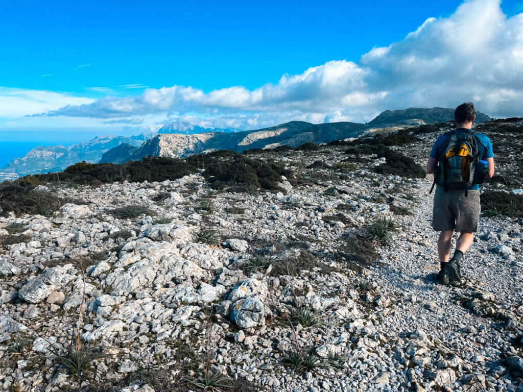
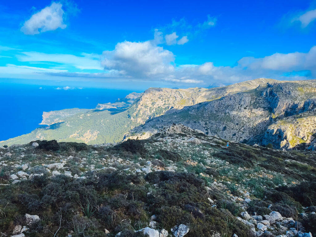
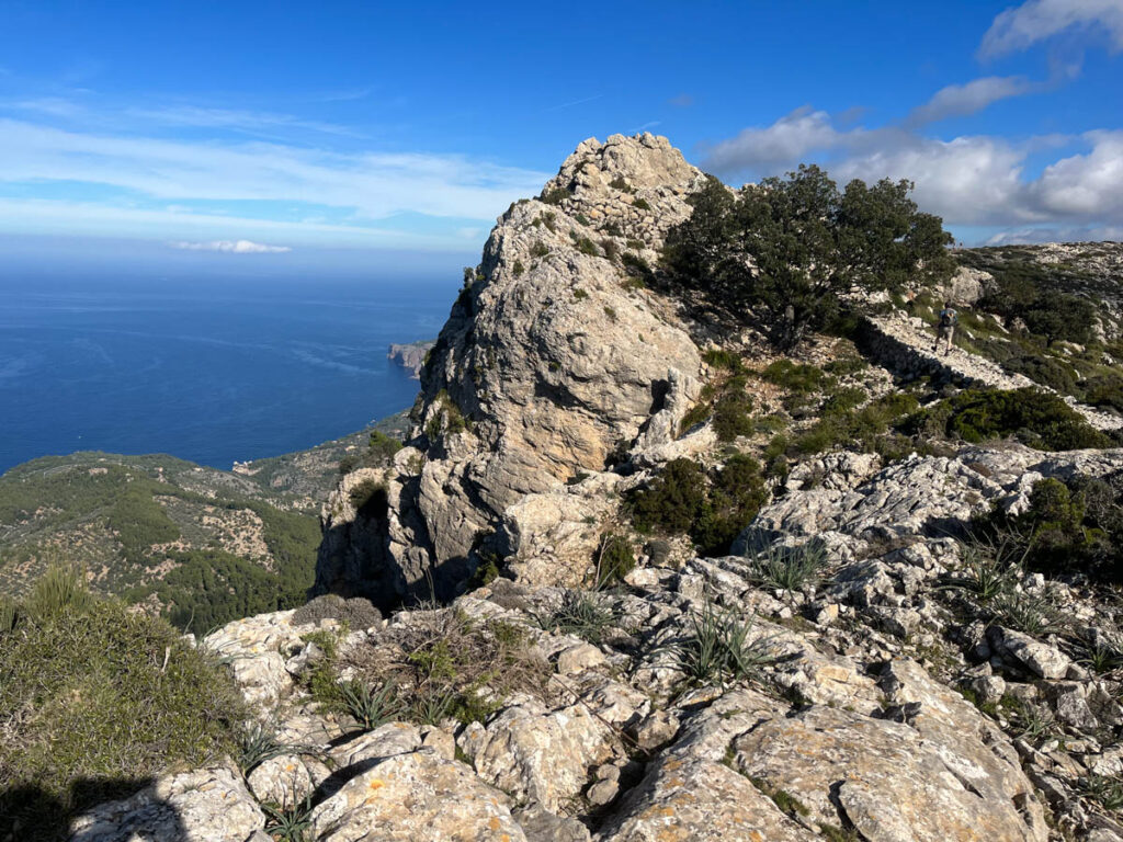
The trail starts through a beautiful forest with some steep climbing until you reach the Mirador de Ses Puntes viewpoint. Once you reach the ridge, the trail officially becomes the Camí de s’Arxiduc. This incredible ridge os fully exposed with a steep drop. The trail through here is wide as it makes it’s away across the ridge with incredible views of the coast to the west.
Named in honor of Archduke Ludwig Salvator of Habsburg-Lorraine, an aristocrat and naturalist celebrated for charting numerous paths in the 19th century, this trail reflects his years of studying Mallorca’s wildlife.
After a long ridge walk, the trail loops around and you descend back to Valdemossa through the Es Cairats Valley.
Archduke Trail Mallorca Map

Things to Know about Hiking the Archduke’s Trail Mallorca
Trailhead Parking
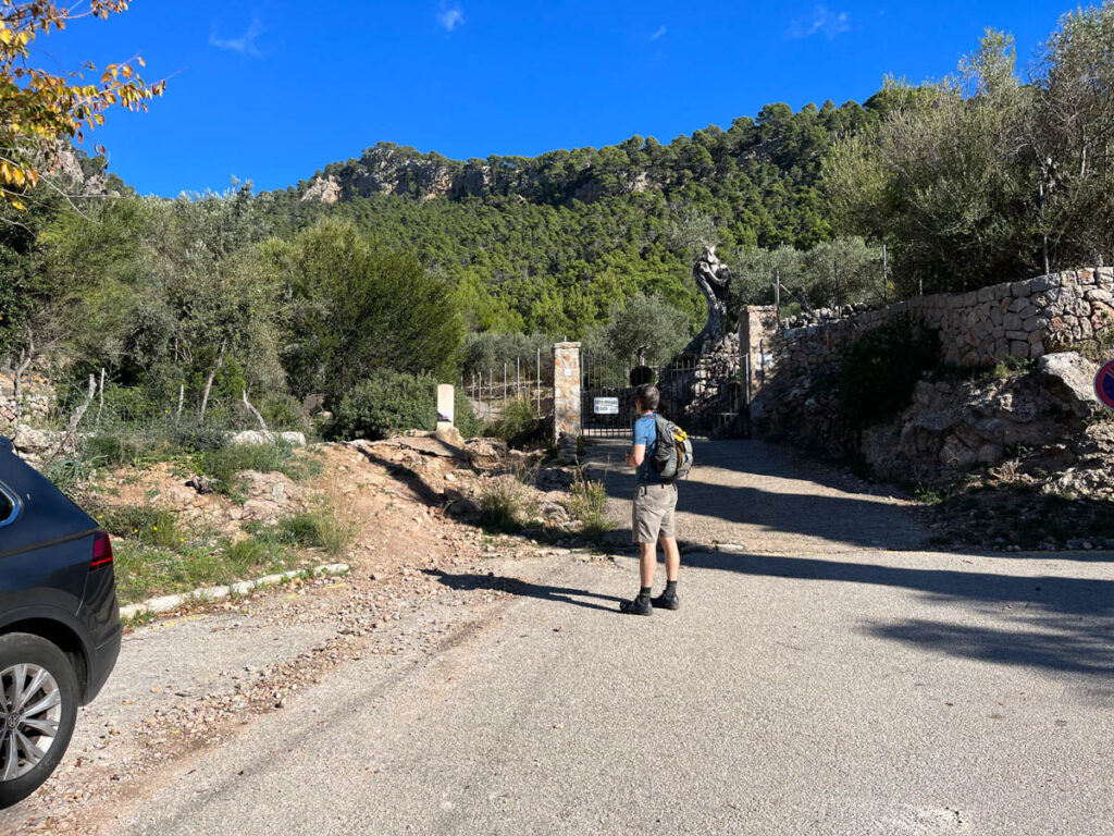
We parked in one of the public pay-to-park lots in Valdemossa. There are two parking lots right off the main street running through town. There were also a number of cars parked right at the trailhead on Carrer de les Oliveres.
The trail starts here if you are hiking in a clockwise direction (the route described in this article)
If you are hiking in a counterclockwise direction, the trail starts on the GR 221 from Valdemossa.
What to Pack
Consider the season when preparing for your hike and pack accordingly with layers, water, and snacks. There are no spots along the route to obtain water or snacks, and shade is nonexistent on the ridge. Even on our November hike, we regretted not packing a hat.
While a portion of the trail follows a wide, well-maintained path, certain sections are rocky, necessitating sturdy hiking shoes or boots for ankle support.
Quickly moving clouds and sudden temperature changes are common, making the trail potentially slippery. We strongly advise including essential day hiking items in your pack.
Do you Need a Permit?
There is an option on this trail at the beginning of the hike through the Muntanya del Voltor. The Muntanya del Voltor is made up of several private estates and is a preserved natural area. The Muntanya del Voltor association was founded in 2014 and you will need to get a permit to hike through this area.
In order to get access, you just have to request a free permit. There is a small shed with a person there checking and selling permits.
They administer limited permits daily. You can call, email, or whatsapp Muntanya del Voltor with your desired hiking date and your name as well as the names of anyone in your hiking group. We recommend reaching out 4-6 days in advance.
- Email: info@muntanyadelvoltor.com
- Call/Whatsapp: 0034 619 59 19 85
You do not need to hike through this area to do this hike and the route described here does not pass into the Muntanya del Voltor region.
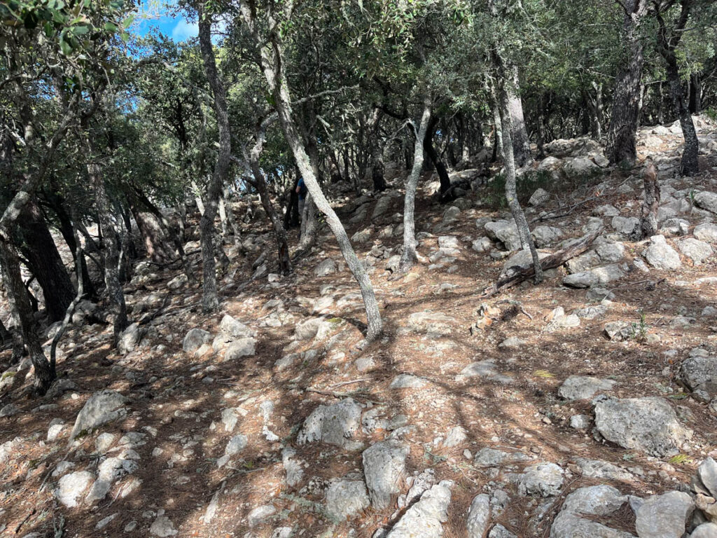
Best Time of Year to Hike on Mallorca
Mallorca offers fantastic hiking opportunities year-round. Dave and I experienced this firsthand during our visit in November, enjoying warm weather at around 70 degrees Fahrenheit, which provided ideal hiking conditions. *This isn’t completely normal for November.
The prime seasons for hiking in Mallorca are generally spring (April to June) and autumn (September to November). During these months, the weather is typically mild, with temperatures ranging from 15 to 25 degrees Celsius (59 to 77 degrees Fahrenheit). Spring showcases blooming wildflowers and lush landscapes, while autumn offers pleasant temperatures without the summer crowds.
Summer (July to August) can be hot, with temperatures often exceeding 30 degrees Celsius (86 degrees Fahrenheit), making hiking less comfortable. Winter (December to February) brings cooler temperatures and occasional rain, but hiking is still possible, particularly in the lowland areas. It’s essential to check specific weather conditions and trail accessibility based on your chosen route and altitude.

Details of the Hike on the Archduke Trail Mallorca
In this section you can see a step by step hiking guide to this hike based on Dave and I hiking this route in November of 2023. Note that the sign is generally well marked but there are several options. We had cell coverage throughout the hike but it’s work having a copy of the map with you.
After parking it town, we walked about 5 minutes uphill to the start of the trail. There are several signs saying ‘private property’ right at the trailhead. This refers to the road and gate. The start of the trail is just to the left of the gate and passes directly into the forest.
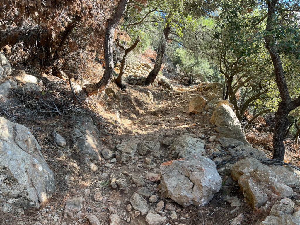
After just a few minutes of walking, you will come to the divide into the Muntanya del Voltor. If you have a permit, you can continue straight pass the shed after checking in with the person there or turn right onto the Camí de ses Basses path (this is what we did).
The trail ascends steeply through a valley with some switchbacks. This part of the trail is the most challenging with uneven footing and a steady and steep trail. After about 20 minutes of uphill, you will get a short flat section and will turn left of the well marked trail before beginning another steep section with more switchbacks.
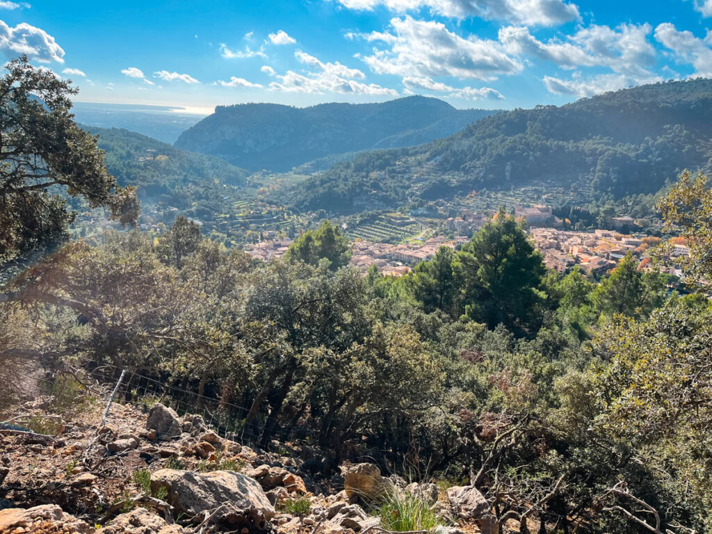
Once you are at the top of this section, you’ve completed the majority of the uphill walking on this trail. Already you will have views out across Valdemossa and to the Southwest.

The trail becomes a bit more challenging to follow through this area as there are many goat paths. It’s helpful to check you location a few times if possible. After following the edge of the hillside, the trail connects back up with the path through the Muntanya del Voltor.
There is one small but final climb up to the Archduke Trail. The Camí de s’Arxiduc trail starts by traversing along the edge of a large cliff. This is the narrowest part of the trail and also the most spectacular. The trail continues very exposed across the top of the ridge until reaching the turnoff for the trail to Deia. Stay right here.
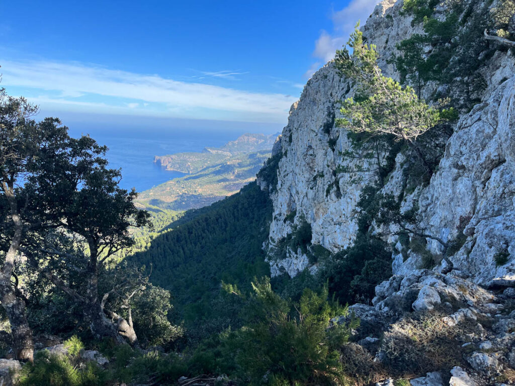
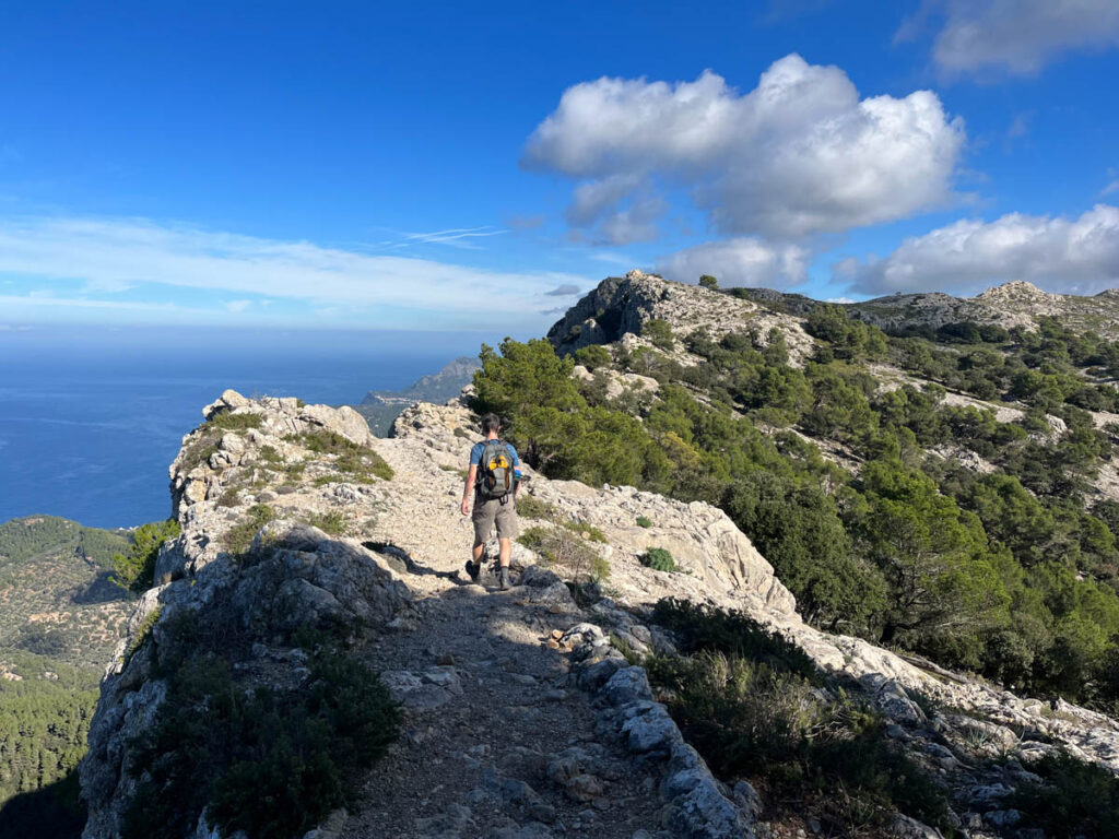
The trail continues along the ridge to Puig Gros (938 m), marked by a cairn. The trail slowly descends until reaching the unmanaged Refugi de Son Moragues. From here back down to the town, the trail is on a wide road/path. There is an option to take a more challenging route on a trail but we chose to stay on the road.


Other Places to Explore…
Looking for other hikes in Mallorca? Make sure to check out How to Hike to La Trapa Mallorca and Mirador d’en Josep Sastre for Sweeping Coastal Views.
We love exploring the hiking regions of Europe. You may also like to our recommendations for hiking in the Dolomites of Italy or Slovenia.




hiI like your writing so much share we be in contact more approximately your article on AOL I need a specialist in this area to resolve my problem Maybe that is you Looking ahead to see you