
This steep hike ascends to the Ridge of Wildcat and hits several peaks including two 4,000-footers, before descending down to Carter Notch and down the 19 Mile Brook Trail. The Wildcat Ridge Trail NH to the 19 Mile Brook Trail is a one-way trail that is best done by spotting a car, this hike can also be done as an out and back just on the Wildcat Ridge Trail.
With incredible views across to Mount Washington, don’t underestimate this steep and slightly exposed hike.

Quick Look at the Wildcat Ridge Trail NH to 19 Mile Brook Trail Hike
Distance: 8.4 miles
Elevation Gain: 3,200 ft
Difficulty: Difficult
The best way to tackle this hike is to spot a car at the end of 19 Mile Brook Trail and start your hike from the Glen Ellis Fall Parking Lot. You can make a little detour to the waterfall before the start of the hike if you have time. The Wildcat Ridge Trail is also part of the Appalachian Trail, so you may see some through hikers.
After ascending the first steep section of the hike up to the ridge, you will pass over 5 peaks – 2 of which count as 4,000 footers, the other peaks don’t have enough descent and ascent between peaks. You can see the 5 peak elevations here:
Wildcat A – 4422 feet *
Wildcat B – 4330 feet
Wildcat C – 4298 feet
Wildcat D – 4062 feet *
Wildcat E – 4046 feet
After Wildcat E, the trail descends steeply to Carter Notch and you turn left onto the 19 Mile Brook Trail. This trail partially follows the lovely Brook and leads you right out to the parking lot.
What to Know About Hiking the Wildcat Ridge Trail NH
Best Time of Year to Hike in the White Mountains
The White Mountains are a year-round hiking destination assuming you are prepared for winter weather and pack winter gear (like microspikes). The best time of year to hike the Wildcat Ridge Trail NH is during the warmer months May-October. The trail does have some exposure and a few challenging sections making it extra challenging to hike in the winter.
Are Dogs Allowed on the Wildcat Ridge Trail NH?
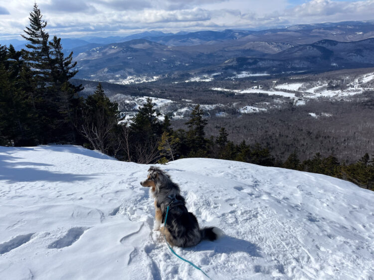
The trail is open to dogs but is not the most dog-friendly hike due to several steep and exposed sections near the beginning of the hike.
Map of the Wildcat Ridge Trail NH

Details of Hiking the Wildcat Ridge Trail and 19 Mile Brook Trail
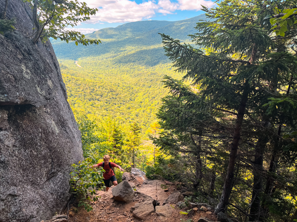
The hardest part of this hike is the first mile. From the Glen Ellis Falls Parking Lot, head under the road via the tunnel and turn left immediately onto the trail. If you want to visit the waterfall first, it is a short add-on to your right.
Once you start on the trail, it quickly begins to ascend steeply uphill. This is the hardest part of the hike and involves very steep climbing with some rock scrambling. As you near the top of this section, there are a few more challenging sections with some stairs put into the rock and a scramble up. In the summer, this was no problem, but if you are hiking this trail in the winter, make sure you have the proper gear.
Always check the weather before heading off for a hike in the White Mountains!

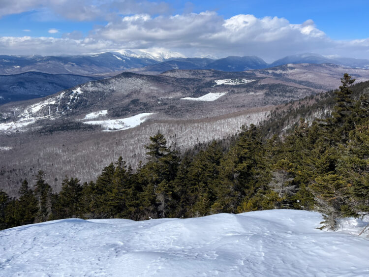
Once you gain the ridge, the trail becomes much easier although it still goes through a series of ascents and descents as it makes its way over the various peaks. Assuming you get a clear day, you will have views back over to Washington on the way up to the ridge and the first mile of the trail. After passing over the summit of Wildcat E, the trail passes the top of Wildcat Ski Area. It is possible to take the chair lift up to this location for a picnic or a walk.

We stopped here for lunch and enjoyed the views across to the Presidentials. From here a short walk brings you to Summit D and a viewing platform, before descending again and continuing along the ridge.
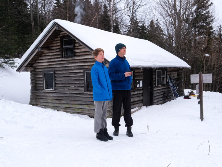
The final summit you reach is Summit A and from here there is a small lookout towards Carter Dome and the lakes below. Stop here for a few photos and a new viewpoint before descending steeply down to Carter Notch. This has a bit more of a switchback than the earlier ascent but is still steep. At the base of this, you can turn left onto 19 Mile Brook Trail, or turn right to go down to the lakes and stop at Carter Notch Hut.

We took a short detour here by the lakes to refill some water.
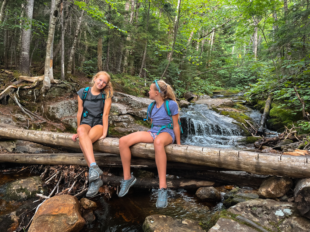
The 19 Mile Brook Trail is a relatively easy and steady trail that descends about 3.6 miles to the parking lot. The lower section of the trail becomes flatter and follows the brook with small waterfalls and pools that looked perfect to cool your feet. This is a lovely Trail and a nice way to end a challenging hike.
If you were unable to spot a car, you will need to walk back along the road to your car.
Looking for other hiking guides to the White Mountains? Check out