 Gretchen Stuppy Carlson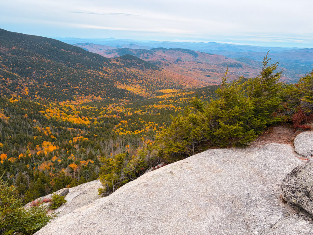
Starting right in Waterville Valley, the Jennings Peak and Sandwich Dome hike takes you to two of the 52 with a View. The highest point is close to 4,000 feet and this is a relatively long hike to reach the mountains on this list. Below we share how to hike Jennings Peak and Sandwich Dome (or Sandwich Mountain) loop trail.
While it is possible to do just one of these peaks, they are very close to each other and are best done together.
Looking to explore adventures around New England? I've spent almost my entire life living in New England and love to explore, photograph, and write about the region. You can find details of incredible hikes, hidden gems, delicious food and my top tips for traveling around the Northeast here and in my newsletter: Uncover New England.
Quick Look at How to Hike Jennings Peak and Sandwich Dome
Distance: 8.8 miles
Elevation Gain: 3,000 feet
Difficulty: Hard
Trail Type: Loop trail with a spur to Sandwich Dome
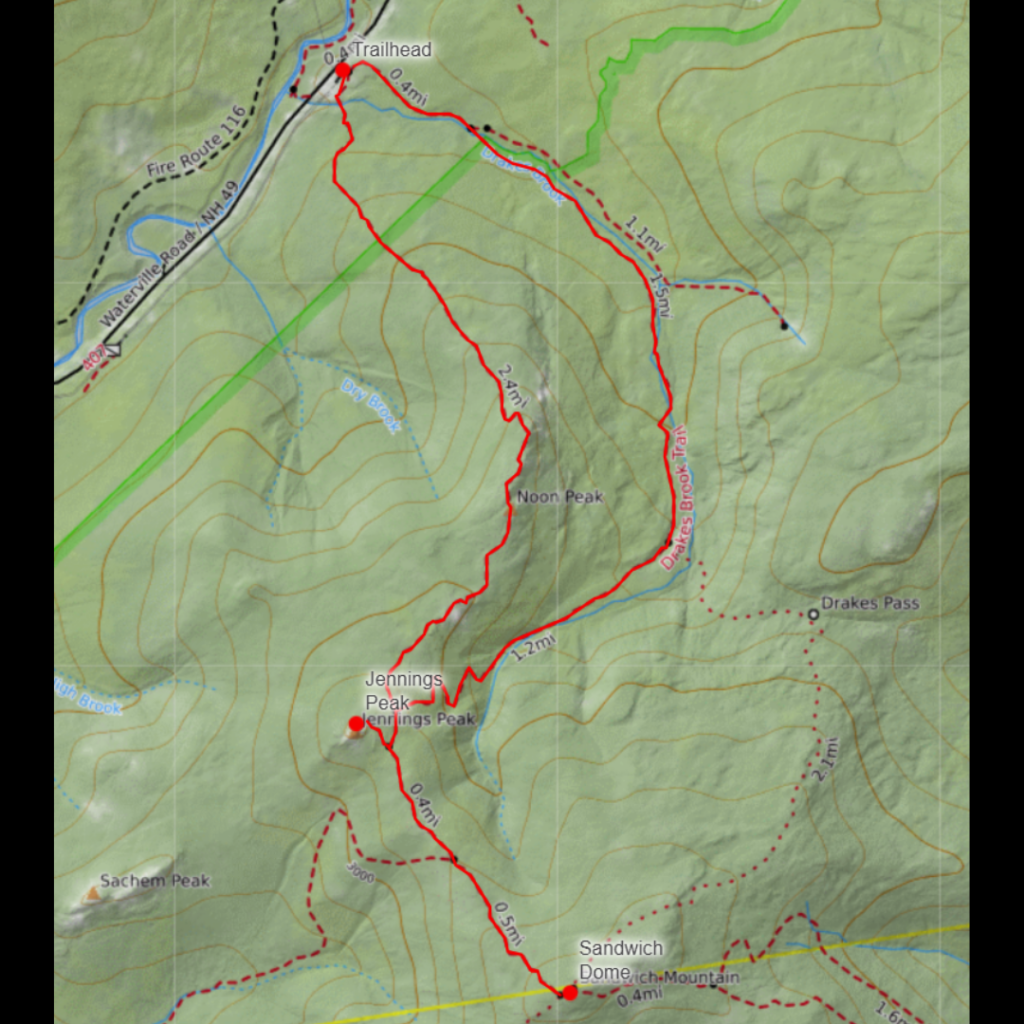
The trail starts from a small parking lot right next to Waterville Valley. Since it’s done as a loop, you can start in either direction. We went counterclockwise. There are some decently steep sections in both directions. To reach Jennings Peak you will take a .2 mile out and back. From here you can hike to Sandwich Dome which is another out and back, although slightly longer, trail. To finish the hike, descend on the continuation of the loop hike.
Note – that the lower trail follows a pretty stream, but can often be muddy.
Jennings Peak and Sandwich Dome Trailhead Parking Lot
The parking lot is located right off Route 42. It is a medium sized lot and does fill up on popular weekend days. There are no facilities at the parking lot.
Map of the Jennings Peak and Sandwich Dome Hike
Things to Know about the Jennings Peak and Sandwich Dome Hike
Pick your direction. The loop works either way, and both directions have some steep stretches. We went counterclockwise, but it really doesn’t matter.
It’s a big day. At 8.8 miles and about 3,000 feet of gain, this one earns its Hard rating. It took us about 4 hours to do the full hike. Give yourself plenty of daylight, especially if you plan to do both spurs.
The spurs add up. Jennings Peak is a short .2 mile out and back, so it’s easy to knock out. Sandwich Dome is also an out and back, and a bit longer. Both spurs are extra mileage on top of the loop, so keep that in mind when you’re tired on the way up.
Expect mud on the lower trail. The lower section follows a really pretty stream, but it’s often muddy. Wear shoes or boots you don’t mind getting dirty.
Parking fills up. The lot is a medium size and gets crowded on popular weekends. Get there early if you can. There are no facilities, so use the restroom before you arrive and plan to pack out everything you bring in.
Bring more water and snacks than you think you need. There’s nothing along the way, and with this much climbing you’ll go through it.
Check the weather before you go. The summits can be cooler and windier than the trailhead. We did this hike in mid-October and it was cool at the summit and a bit windy.
Details of how to Hike Jennings Peak and Sandwich Dome
We started the hike on the small trail on the right side of the parking lot that takes you around the loop in a counterclockwise direction. The trail is at times flat with a few steep sections. None of the steep sections involve scrambling. The trail is mostly well marked although there are not marks on the trees so there are a few places double check as you ascend.
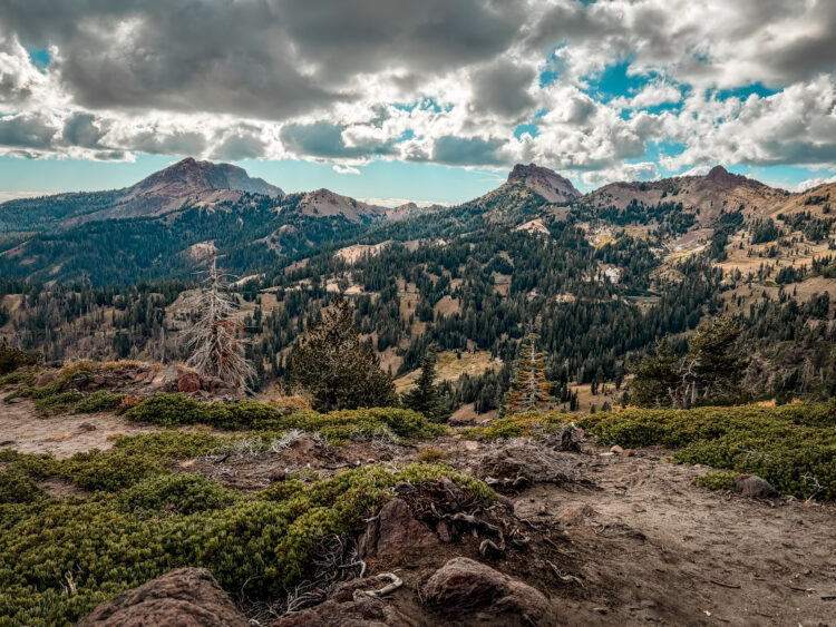
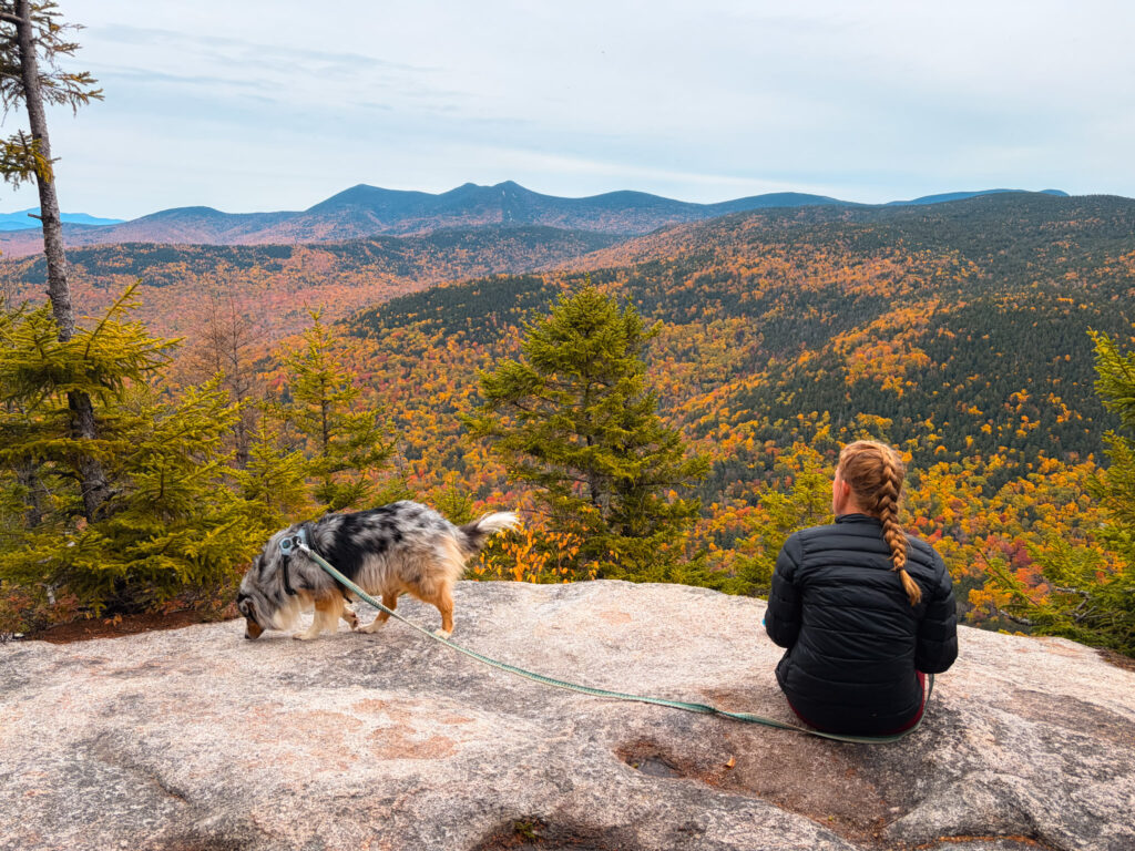
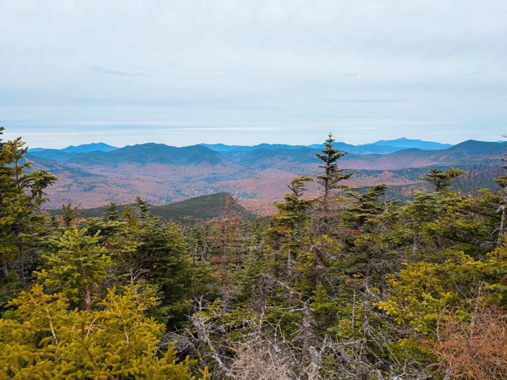
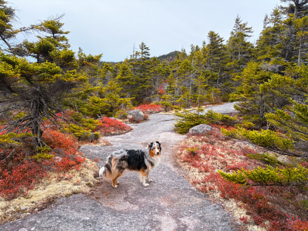
You will eventually reach a 4 way intersection with the two parts of the loop trail as well as the spur to Jennings and the trail to Sandwich Dome. The best views are on the way up to Jennings and from Jennings itself. The views from Sandwich and Jennings look in different directions so it’s worth doing both peaks.
We did this hike in the fall and enjoyed the views, although I think the views from nearby Tecumseh are even better.
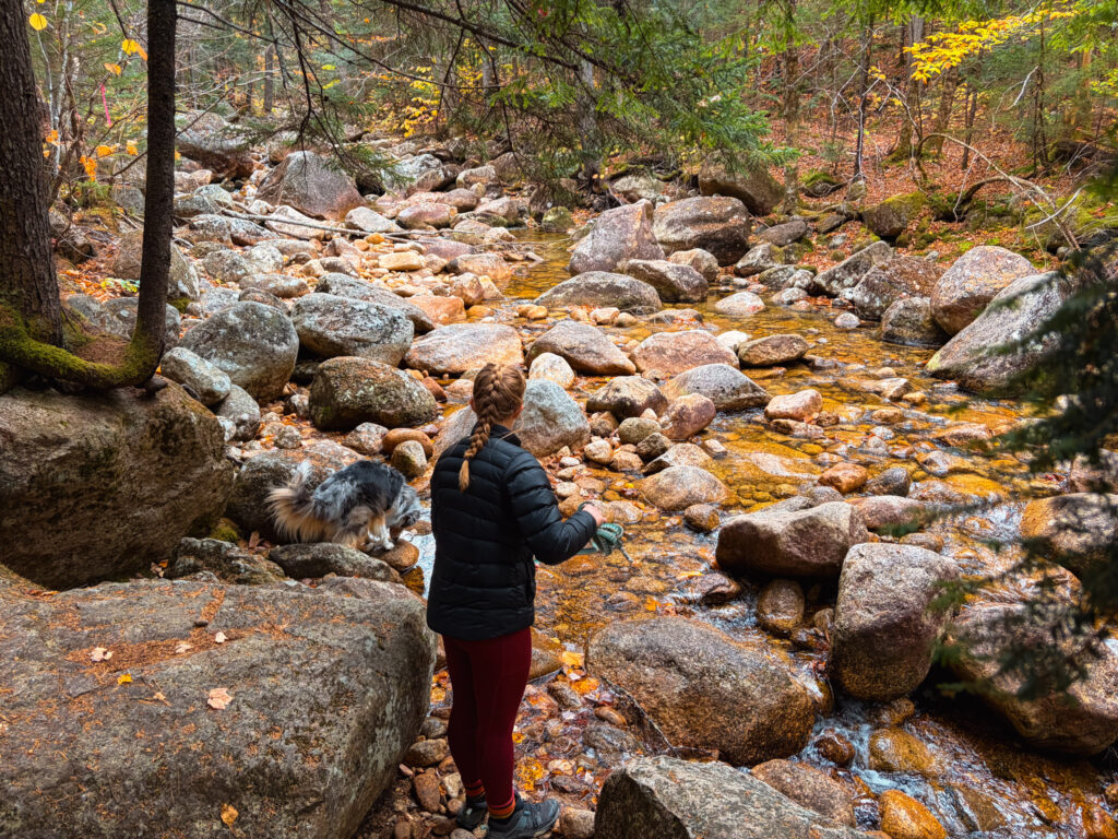
After completing the summits, the trail descends down into the valley and follows alongside a pretty and crystal clear stream. There are a few stream crossings that could get interesting if there is a lot of water. In the fall the stream was low and crossings were easy. The trail is a bit muddy as well so good shoes are recommended.