 Gretchen Stuppy Carlson
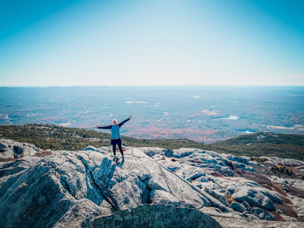
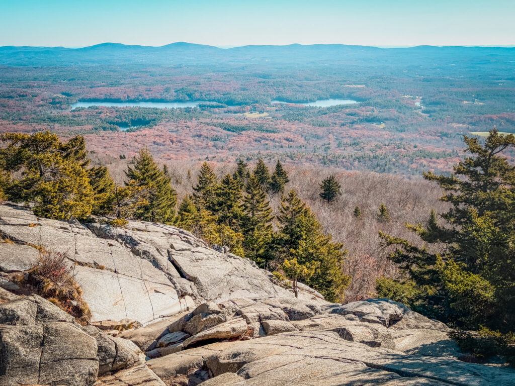
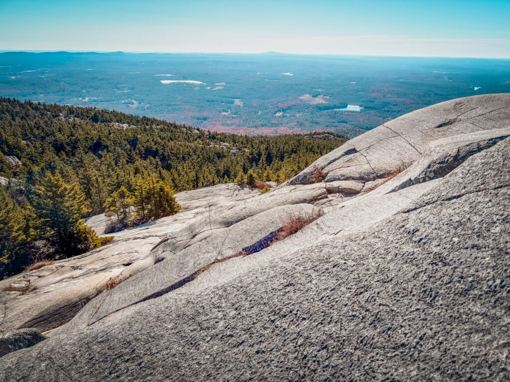
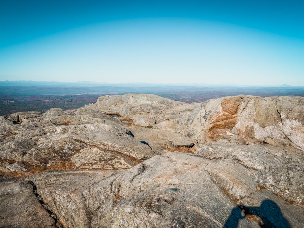
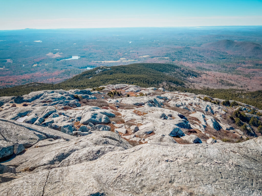
Ah… Mount Manadnock. I’ve lived within 2 hours of this mountain most of my like and it took me 47 years to hike it. The mountain is often touted as one of the most hiked mountain in the world and between the crowds, the permits and not allowing dogs, it never made it to the top of my list. While the popularity is mostly due to the proximity to Boston than the views, I was still impressed with the rocky summit and long distance views.
Is Monadnock one of my favorite hikes in NH? Nope – there are many better views just a bit north, but if you are looking for a mountain hike and only have a day from Boston, this hike is a great choice. In this post, I go in the details of exactly what you should know about how to hike Mount Monadnock.
Looking for more? Explore more hikes in Southern NH or check out the nearby North Pack Monadnock.
Looking to explore adventures around New England? I've spent almost my entire life living in New England and love to explore, photograph, and write about the region. You can find details of incredible hikes, hidden gems, delicious food and my top tips for traveling around the Northeast here and in my newsletter: Uncover New England.
Quick Look at How to Hike Mount Monadnock
There are multiple routes to take up Mount Monadnock. You can do the hike as an out and back or a loop. Here is the break down.
White Dot–White Cross Loop
- Distance: 4.0–4.2 miles
- Elevation Gain: 1,800 feet
- Difficulty: Hard
- Time: 3–5 hours
- Trail Type: Loop

This classic Monadnock hike climbs the steep White Dot Trail and descends the slightly less exposed White Cross Trail, offering varied terrain and spectacular summit views.
White Arrow Trail via Old Toll Road
- Distance: 4.6 miles
- Elevation Gain: 1,700 feet
- Difficulty: Moderate to hard
- Time: 3–4.5 hours
- Trail Type: Out and back

A scenic approach from the Old Toll Road trailhead that follows a gradual historic road before climbing steep, rocky ledges toward the summit.
Dublin Trail
- Distance: 4.4–4.8 miles
- Elevation Gain: 1,700 feet
- Difficulty: Moderate to hard
- Time: 3.5–5 hours
- Trail Type: Out and back

A quieter northern approach that winds through beautiful forest before climbing across rocky terrain and open ledges with excellent views.
Other Trails and Routes up Mount Monadnock
Marlboro Trail: 4.2 miles, 1,800–1,900 feet elevation gain, hard, 3.5–5 hours, out and back – A quieter western route with steep rocky ledges and sweeping views.
Pumpelly Trail: 8.6–9 miles, 1,800–2,000 feet elevation gain, hard, 5–7 hours, out and back – A longer, scenic route featuring an exposed ridgeline and spectacular views.
Birchtoft–Red Spot Trail: 7 miles, 2,000 feet elevation gain, hard, 5–6.5 hours, out and back – A less crowded route through forest and rocky terrain from Gilson Pond to the summit.
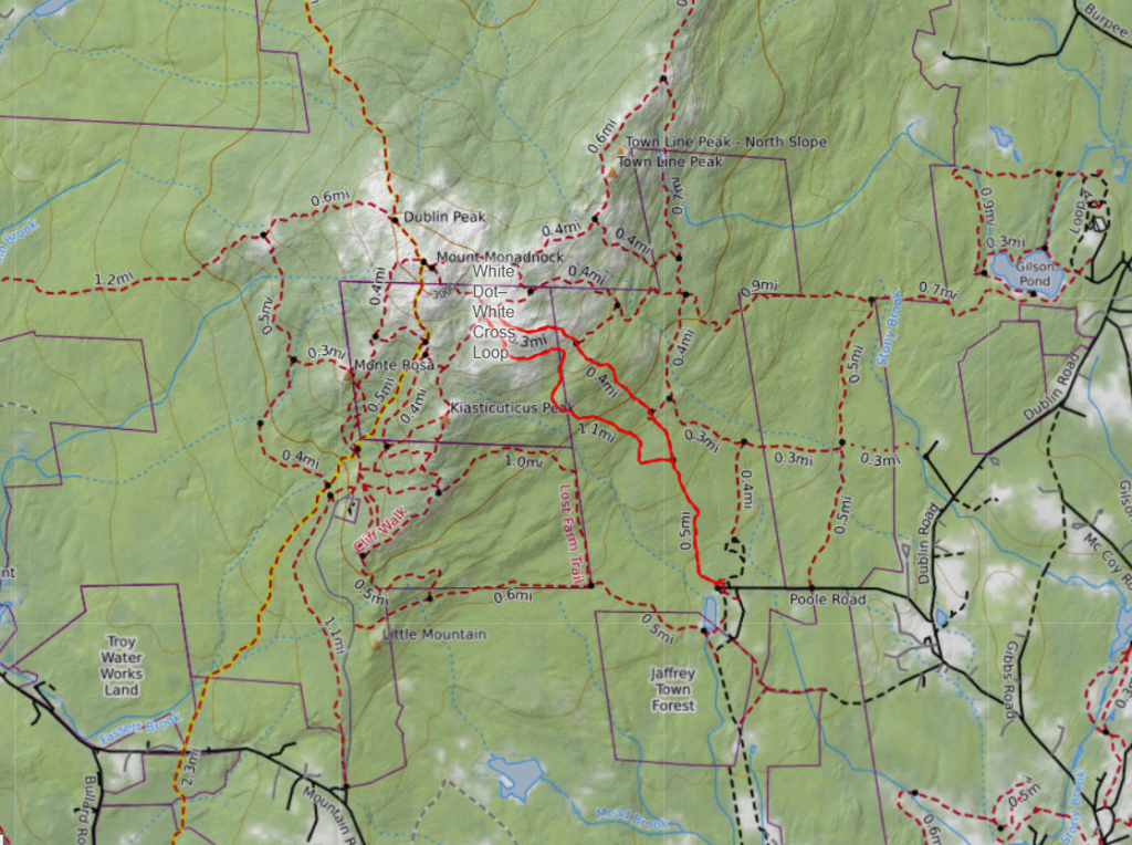
Map of Mount Monadnock
Below you can see the trails around Monadnock. I’ve highlighted the trail we did (the popular White Dot–White Cross Loop).
Things to Know about Hiking Mount Monadnock
Parking and Reservations: Mount Monadnock is one of the most popular hikes in New Hampshire, and the main trailhead at Monadnock State Park can fill up quickly, especially on summer and fall weekends. I recommend making a parking reservation in advance through New Hampshire State Parks (it’s only $1 to reserve and then $15 to park and enter the state park) and arriving early. Different trails start from different parking areas, so make sure you know where your hike begins.
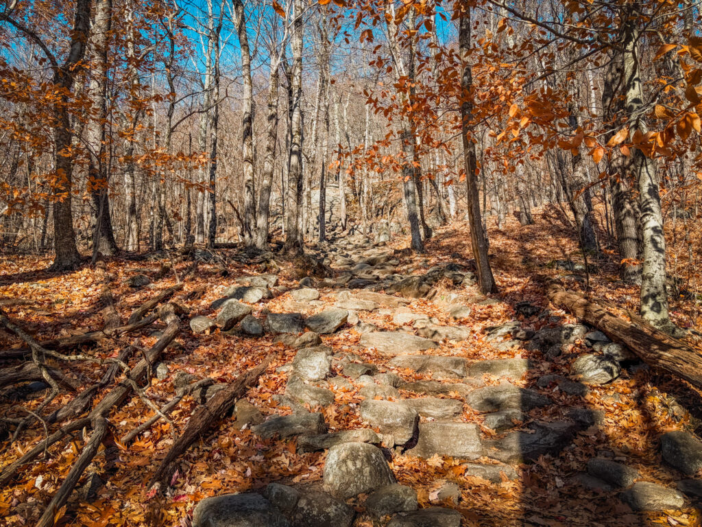
The Hike is Harder Than You Might Expect: Even though Mount Monadnock is only 3,165 feet tall, don’t underestimate this hike. The trails are steep and rocky, and several sections involve scrambling up large granite slabs. The White Dot Trail is particularly steep, and you’ll want shoes with good traction.
The Summit is Completely Exposed: Once you get above the trees, there is very little protection from the wind or weather. Even on a warm day, it can be significantly colder at the summit. Bring extra layers, especially if you’re hiking in the spring, fall, or winter.
Expect Crowds: Monadnock is an incredibly popular mountain, partly because it’s accessible from Boston and southern New Hampshire. If you want a quieter experience, consider hiking on a weekday, visiting outside peak foliage season, or choosing one of the less popular routes like the Dublin or Marlboro Trail or consider the nearby Pack Monadnock.
Best Time to Hike Mount Monadnock: Late spring through fall is generally the best time to hike. Summer offers long daylight hours, while fall brings beautiful foliage. Keep in mind that early spring can mean mud and lingering ice, and late fall can bring freezing temperatures and icy rocks. Winter hiking requires additional experience and equipment.
There is Very Little Water Along the Trail: Bring plenty of drinking water, especially during the summer. There are no reliable places to refill your water bottle along the summit routes, and the exposed upper mountain can get hot on sunny days.
Dogs Are Not Allowed: Unlike many hikes in New Hampshire, dogs are not permitted on Mount Monadnock within Monadnock State Park. Leave your four-legged hiking companions at home.
Plan for a Full Half Day: Most of the shorter summit routes take around 3–5 hours, depending on your pace and how long you spend at the summit. Allow extra time for rocky sections, breaks, and enjoying the views.
Details of how to hike Mount Monadnock on the White Dot–White Cross Loop
I did this hike in early November with a friend after the leaves had mostly dropped. Since we were hiking in the off season, there were far fewer crowds than on a busy fall weekend. If you are hiking Monadnock in the summer or fall, be prepared to lots of people and crowded parking lots and try to arrive early. We did get a reservation, but most people did not at this time of year.
From the parking lot, we followed the steep White dot Trail to the summit. The trail begins in the forest and slowly gets steeper and steeper until you are ascending some relatively steep rock slabs. A bit more than half way up you are rewarded with your first view, and from here to the summit, you have view the entire way. We saw only a handful of people on this stretch of the trail.
Since it was November, it was pretty cold and definintely windy at the summit. Make sure to bring plenty of layers even if it’s warm at the base. The summit is very exposed.
After enjoying the summit, descend down the White Cross Trail. This is slightly less steep and easier to manage on the way down. We saw more people on their way up this trail as it was a bit after 10:30. The trail joins back up with the White Dot Trail and you can follow this back to the parking lot.