 Gretchen Stuppy Carlson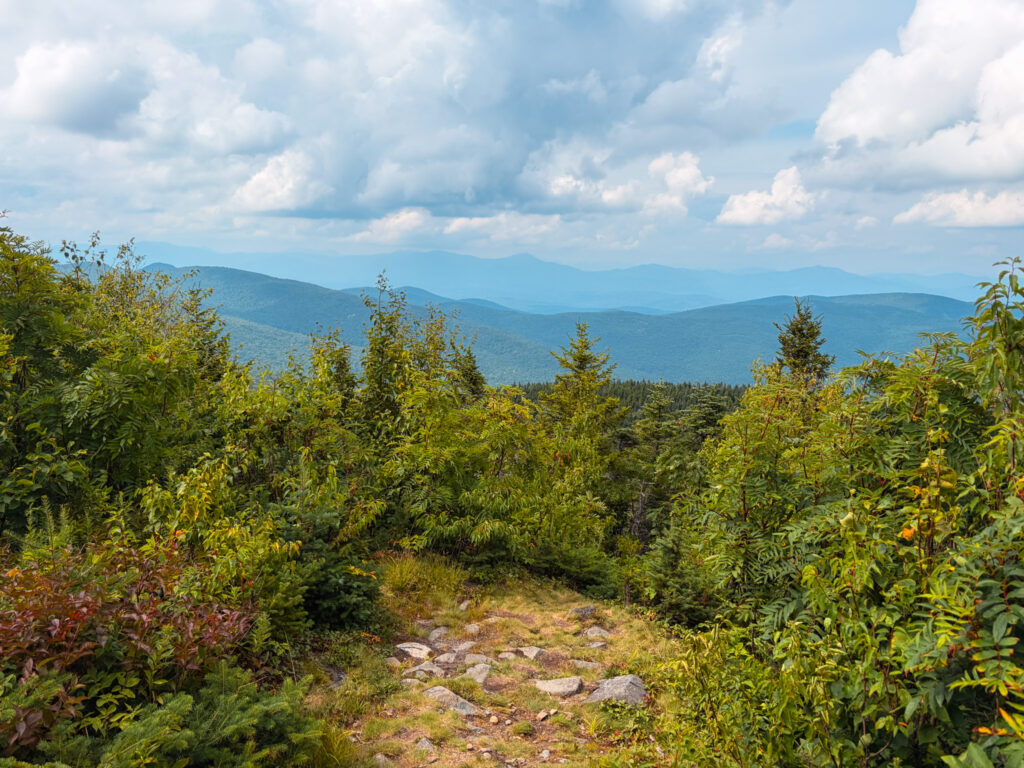
As we slowly chip away at the list of the NH 52 with a view, we’ve been saving Mount Shaw as one of the closer mountains with a gradual include. This weekend we dropped Freja off and camp and decided to tackle the hike. There are several routes to hike Mount Shaw, but we chose to start at the Castle in the Clouds and made the hike into a look clocking almost 11 miles.
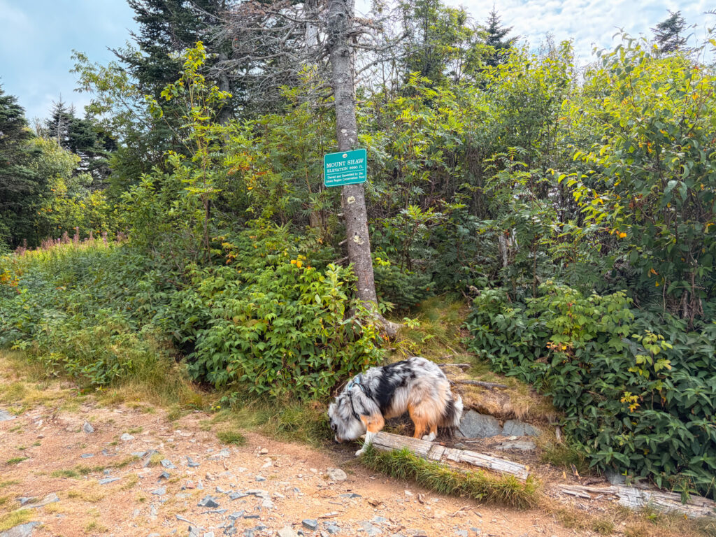
One of New Hampshire’s 52 With a View, Mount Shaw is the highest peak in the Ossipee Mountains at 2,990 feet, and the highest point in the entire Lakes Region. It sits within the Castle in the Clouds Conservation Area, a network of trails built on old carriage roads from the historic Tom Plant estate. Unlike a lot of the lower Ossipee peaks, which have open ledges, Shaw is wooded almost all the way up, but a clearing near the summit opens up to views north over the Sandwich Range and the White Mountains, including Mount Washington and the Presidentials on a clear day.
Below I share how we hiked Mount Shaw as well as the alternative routes.
Looking to explore adventures around New England? I've spent almost my entire life living in New England and love to explore, photograph, and write about the region. You can find details of incredible hikes, hidden gems, delicious food and my top tips for traveling around the Northeast here and in my newsletter: Uncover New England.
Quick Stats for hiking Mount Shaw
Distance: The distance and elevation depends on the route you take (typically between 7.2 and 12 miles).

Elevation Gain: between 1,390–2,500 ft depending on route.

Difficulty: Moderate
Mount Shaw Trail (out-and-back): 8.8 miles round trip, with about 1,810 feet of elevation gain. The most direct and most commonly hiked route to the summit.
Loop with Black Snout and/or Tate Mountain: Adds mileage and a second (or third) summit with views south over Lake Winnipesaukee and the Belknap Range. The Mount Shaw–Black Snout combo runs about 7.3 miles with roughly 2,370 feet of gain, while extending the loop to include Big Ball Mountain (Tate) bumps it to around 7.6 miles and 2,500 feet of gain: a popular way to make a full day of it.
Cold Spring Trail: 8 miles round trip with about 1,800 feet of elevation gain: a slightly gentler grade than the Mount Shaw Trail and a quieter alternative, good if you’re hiking in winter or want to avoid the more heavily trafficked path (part of this route follows a snowmobile trail, so stay alert in winter). This is the route we actually took although we added some mileage on the way down.
How to Get to the Trailhead
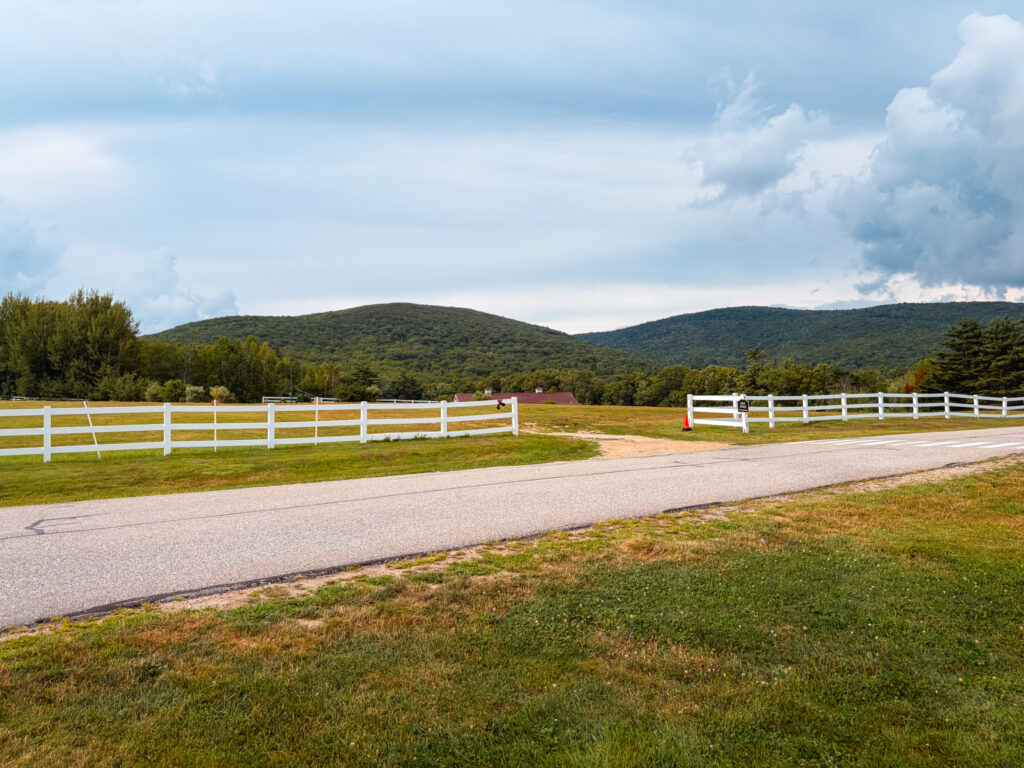
Mount Shaw is accessed through the Castle in the Clouds Conservation Area, off Route 171 in Moultonborough.
A few notes on parking:There’s hiker parking at the Castle in the Clouds lot, plus a smaller pull-off further up Ossipee Park Road. Decide which trail you’re hiking before you park.
The Trail
There are a few ways to reach the summit, so it’s worth deciding your route before you go:
- Mount Shaw Trail (out-and-back): The most direct and most commonly hiked route.
- Loop with Black Snout and/or Tate Mountain: Adds mileage and a second (or third) summit with views south over Lake Winnipesaukee and the Belknap Range: a popular way to make a full day of it.
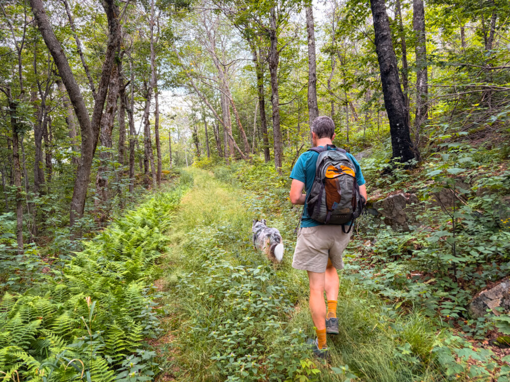
- Cold Spring Trail: A quieter alternative route, good if you’re hiking in winter or want to avoid the more heavily trafficked path (part of this route follows a snowmobile trail, so stay alert in winter). This is whatwe did and the trail itself was easy and steady walking. We ended up hiking about 1800 feet of elevation but it felt like less.
Overall we found the trails easy walking, but there were several section that were overgrown and there was a lot of grass. If you are hiking when the ticks are bad, I imagine that this would be unpleasant – either way bring bug spray!
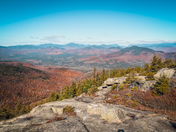
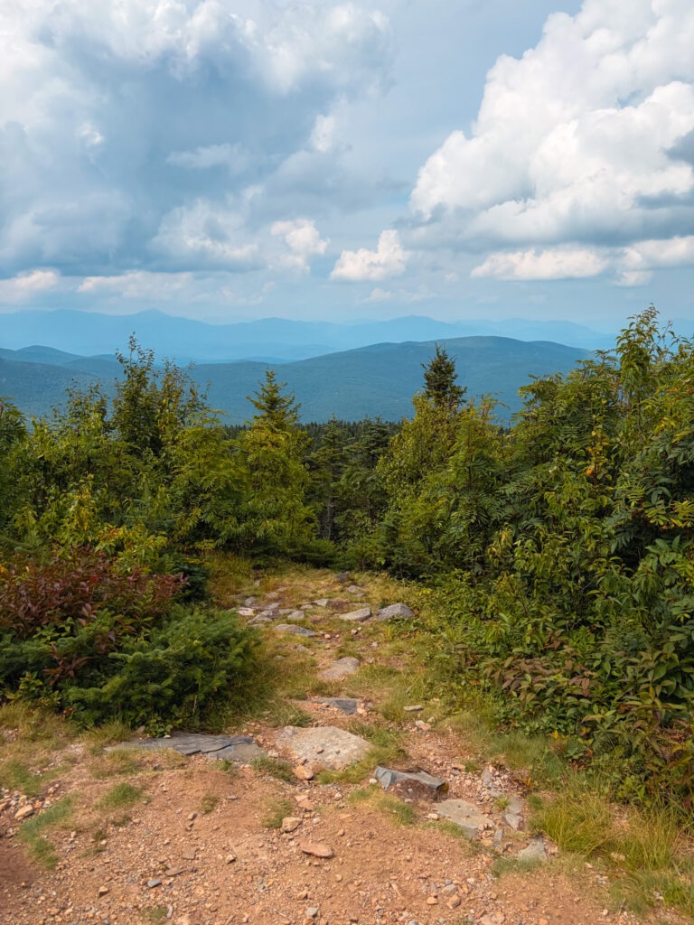
From the summit clearing, you’ll get a wide view north over the Ossipees toward the White Mountains — Squam Lake, Lake Winnipesaukee, and the Belknap Range are visible depending on where you’re standing, with Moosilauke and the Presidentials further out on a clear day.
We got a hazy day so the views were just ok and in general this wasn’t my favorite view from a NH 52 with a view trail.
Things to Know Before You Go
- The trail is entirely wooded until the clearing near the top, so don’t expect open ledges like some of the other 52 With a View hikes.
- Wayfinding can be tricky on some of the connector trails: blazes are faint in spots, so download an offline map before you head out. We had some cell service but you should bring a map, download a map or take a photo of the trailmap
- Bug season is real. Early summer hikers report blackflies at the summit: worth packing bug spray if you’re going in June.
Related Hikes
Looking for more of the 52 With a View list? Check out:
- Check out Mt. Israel (2,636 ft.)
- Hike Mt. Kearsarge (2,935 ft.)