
 Gretchen Stuppy Carlson
Across the valley from the town of Jackson, NH. Iron Mountain is one of the easier 52 with a View hikes offering a beautiful forest trail with a summit and views from the ledges. In fact one of the best scenic views of the whole hike is across a meadow is right at the beginning of the trail.
Below you can see our guide of how to hike Iron Mountain. See all the 52 with a View.
Looking to explore adventures around New England? I've spent almost my entire life living in New England and love to explore, photograph, and write about the region. You can find details of incredible hikes, hidden gems, delicious food and my top tips for traveling around the Northeast here and in my newsletter: Uncover New England.

Quick Look at Iron Mountain
Distance: 3.5 to 4.6-round-trip out-and-back trail
Elevation Gain: 1,400 feet
Difficulty: Moderate
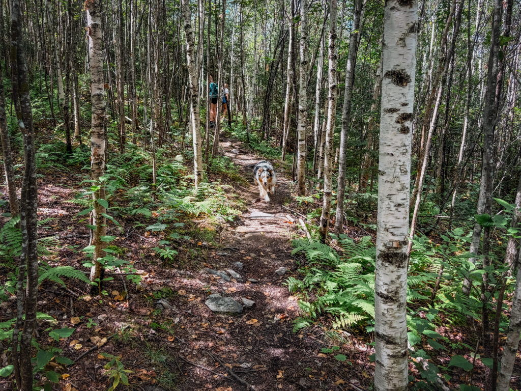
The trail up to the summit of Iron Mountain is generally gradual with a number of switchbacks. The forest is lovely with ferns and birch trees. The trail is rocky in sections but overall easy walking. Once you reach the summit you get the first views. You can simply stop here, but the best views will involve a descent and ascent out to a series of ledges. From here you can descend a further 0.2 miles to the Iron Mines.


What to Know about Hiking Iron Mountain
This is one of the more straighforward 52 with a view hikes.
Parking and the Trailhead
The trailhead is at the top of a dirt road – this road can be difficult to navigate in some cars. From NH Rt 16 in Jackson take Green Hill Road to a small parking area on the right side of the road. The lot has parking for maybe 8 cars.
Hiking with Dogs
We did this hike with our dog and it’s a great choice.

Details of Hiking Iron Mountain
I did this hike with my mom, Freja, Hadley, and Calypso (my australian shephard) on a weekday in August. We lucked out with a beautiful day and this was a great hike for everyone. Hadley and I made it all the way to the ledges while Freja and my mom just went to the summit.
The trail begins across the road from the parking area. Make sure you’re on the current, rebuilt trail (finished in 2021): an older route was closed and brushed in but still shows up on some old maps and apps. We found the trail easy to follow.
The trail climbs steadily through forest. Partway up, a side trail branches off to a north-facing viewpoint with a wide-open look at Mt. Washington, Pinkham Notch, and Carter Notch. Several hikers say this is actually the best single view on the mountain, so don’t skip it (although I thought the view from the ledges was the best).
While I loved the view (including a wide view of Mt. Washington, Pinkham Notch, and Carter Notch from a side trail on the north face), the forest the trail passes through is also beautiful.
The summit is reached after about 0.9 miles and 800 feet of elevation. You will find the footings for an old fire tower.
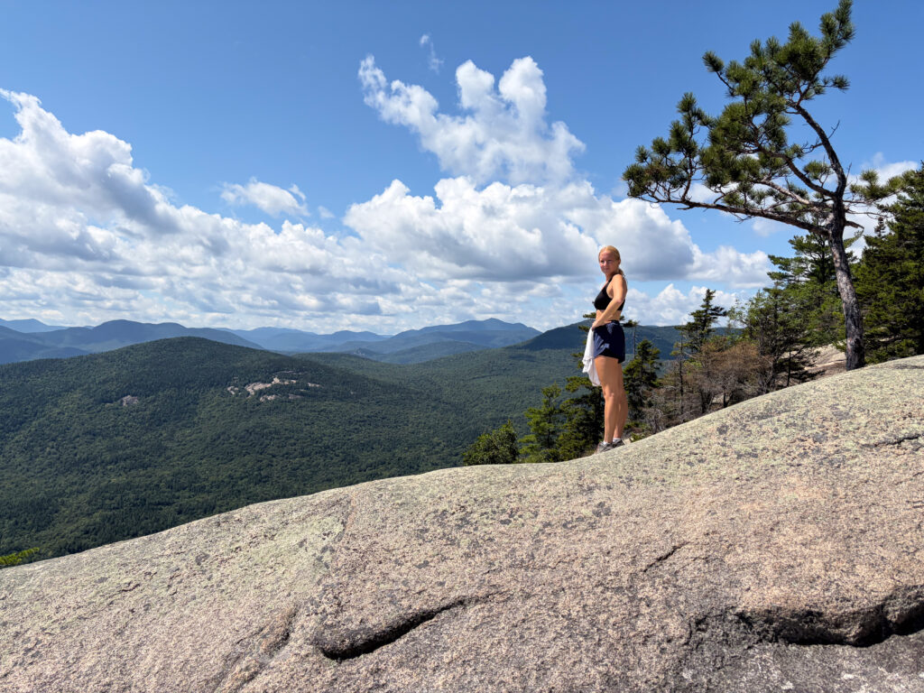
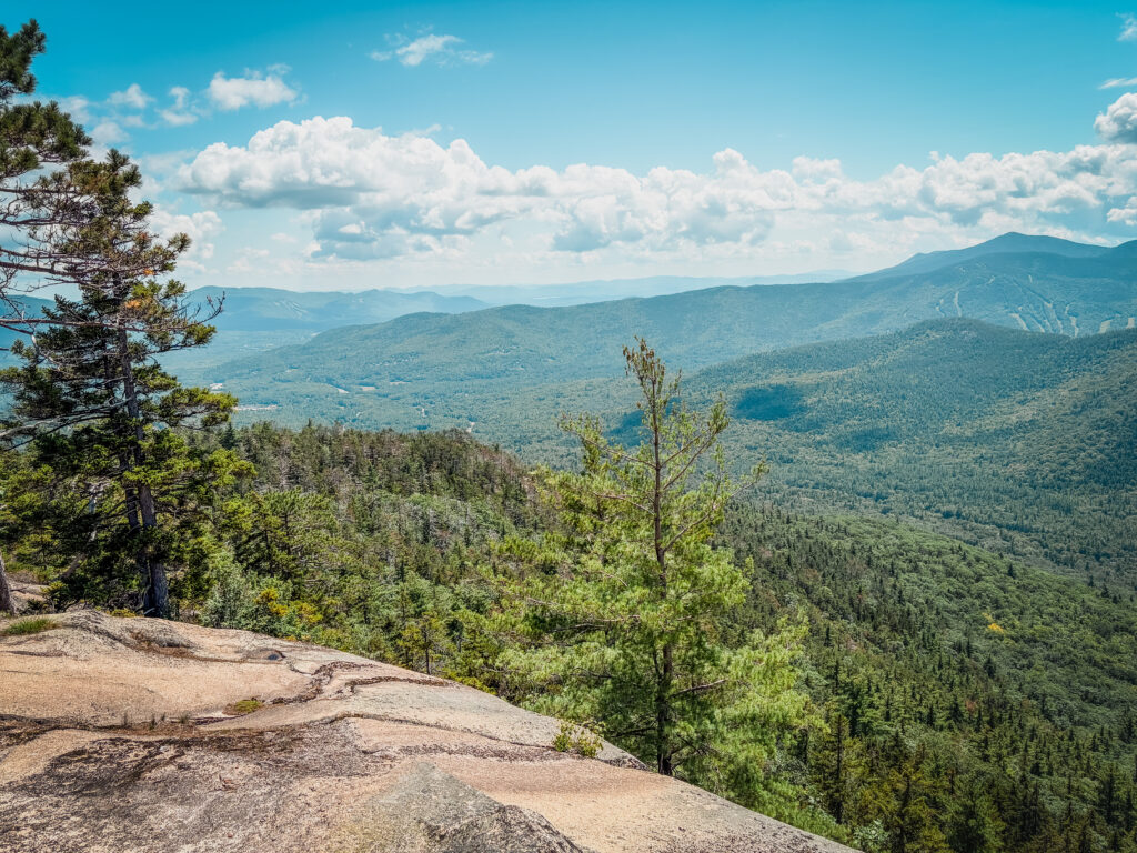
To get to the ledges, the trail descends from the summit about 0.7 miles to the South Cliffs. This is where the real views open up: more extensive and better than the north lookout. Keep in mind this is a real descent, so you’ll have to climb back up on the return.
Looking to explore more in New England? We’ve got lots of hiking guides or you can check out New England Uncovered.